
According to storm news, the latest low pressure from the Philippine Atmospheric, Geophysical and Astronomical Services Administration (PAGASA), the low pressure in the Pacific Ocean continuously changes direction complicatedly.
As of 8 pm on May 25 (local time), the center of the low pressure was located at about 7.8 degrees North latitude - 140.9 degrees East longitude, about 1,605 km east of the eastern region of Mindanao.
In the past 24 hours, the low pressure has continuously changed direction, moving westward and then suddenly turning eastward, towards the East Sea.
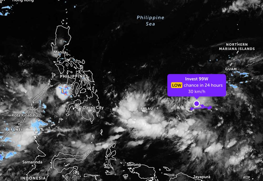
PAGASA forecasts that the low pressure is highly likely to strengthen into a tropical depression in the next 24 hours.
Because it is still far from the mainland, this low pressure area only causes thunderstorms and big waves at sea, and does not significantly affect the adjacent mainland areas.
In the waters of Vietnam, according to the National Center for Hydro-Meteorological Forecasting, on the night of May 25 and the day of May 26, the South East Sea area (including the Truong Sa special zone), the sea area from Lam Dong to Ca Mau, Ca Mau to An Giang will have scattered showers and thunderstorms. In thunderstorms, there is a possibility of tornadoes, strong gusts of wind at level 6-7 and waves over 2.0m high.
In addition, on the night of May 25 and the day of May 26, the Northern Gulf area will have level 5 south wind, sometimes level 6, gusting to level 7. Sea rough.
All ships operating in the above areas are at risk of being affected by tornadoes, strong gusts of wind and high sea waves.
People and tourists planning to visit these sea areas should pay attention to weather forecasts. Follow local instructions and avoid going to sea when the sea is rough to ensure safety throughout the journey.


