According to storm news, the latest low pressure from the Joint Typhoon Warning Center (JTWC), two low pressures are operating in the Indian Ocean.
The first low pressure, coded Invest 92B, is operating in the Bay of Bengal area. In the past 24 hours, the low pressure has moved in a North - Northeast direction, then suddenly turned southward.
The strongest wind near the center of the low pressure reached 30 km/h. JTWC forecasts that this low pressure is unlikely to strengthen into a tropical depression or storm in the next 24 hours.

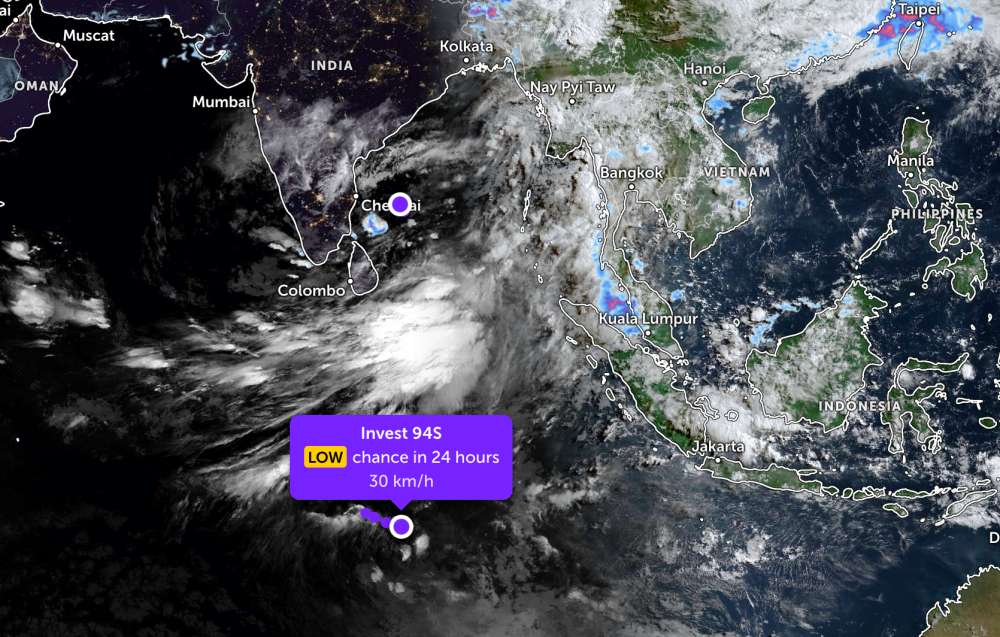
Meanwhile, the second low pressure bearing the symbol Invest 94S is currently gradually weakening over the Southwest Indian Ocean. The strongest wind near the center of the low pressure reaches 30 km/h.
The low pressure moves in a South - Southeast direction and is also forecast to have a low probability of developing into a tropical depression or storm in the next 24 hours.
Because it is still quite far away, the two low pressures have not affected the adjacent mainland areas.
In the sea area of Vietnam, according to the National Center for Hydro-Meteorological Forecasting, on the day and night of May 14, the weather in the sea areas is generally relatively favorable, many areas maintain a state of little rain, visibility over 10km.
The North and South of the Gulf of Tonkin have showers and thunderstorms in some places, south to southwest wind level 4-5, sea waves from 1-2.5m high. The area from South Quang Tri to Khanh Hoa is generally less rainy, light wind to level 4, waves 0.5-1.5m high.
In the East Sea, Northern East Sea, Hoang Sa special zone and the central East Sea area, basically no rain or only rain in a few places, light winds up to level 4, waves 1-2m high. The South East Sea and Truong Sa special zone have showers and thunderstorms in a few places.
Meanwhile, the sea area from Ca Mau to An Giang and the Gulf of Thailand experienced scattered showers, with thunderstorms in some places, the risk of tornadoes and strong gusts of wind during thunderstorms, visibility reduced to 4-10km.
People and tourists planning to visit these sea areas should pay attention to weather forecasts. Follow local instructions and avoid going to sea when the sea is rough to ensure safety against thunderstorms and big waves at sea.


