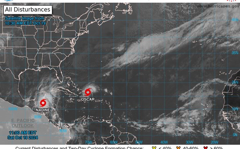
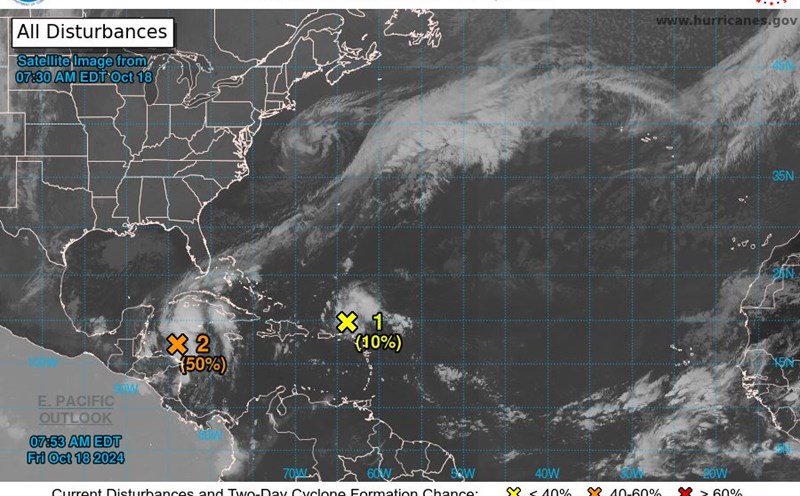
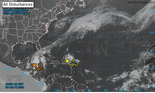
According to the latest news from the US National Hurricane Center (NHC), the center of Hurricane Oscar is currently located at approximately 20.2 degrees North latitude; 75.1 degrees West longitude, about 8km east of Guantanamo, Cuba and 96.5km west of the Eastern Cape of Cuba.
The storm maintained maximum winds of 85 km/h, moving slowly west at 3.2 km/h.
NHC experts forecast Hurricane Oscar will turn northwest and north late on October 21, local time, and move off the northern coast of Cuba later today or tonight.
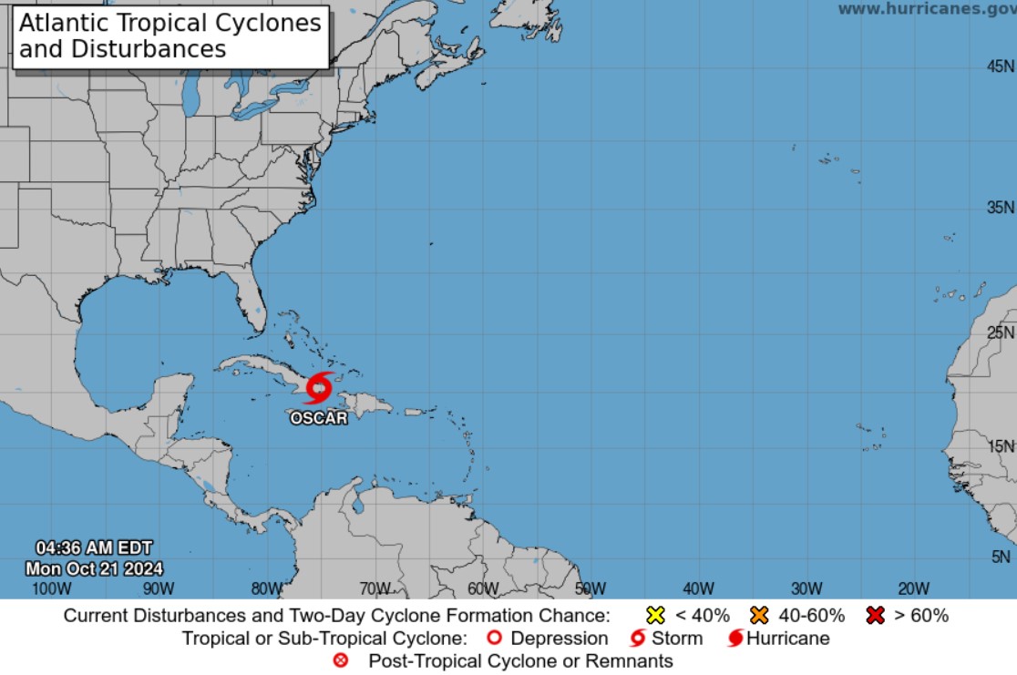
In the coming days, the storm is expected to approach the southeastern and central Bahamas on October 22, then accelerate northeastward on Wednesday (October 23).
Hurricane Oscar is forecast to continue to bring heavy rain and flash floods to affected areas. Specifically, in eastern Cuba, rainfall is expected to range from 170 to 350mm, with some areas possibly reaching 500mm, especially in the Sierra Maestra region.
The NHC also warned of the risk of severe flash flooding and life-threatening mudslides from Oscar. Tropical storm-force winds are expected to extend to about 72 kilometers from the storm's center.
Regarding the surf warning, high water levels along the eastern coast of Cuba will gradually subside by the end of the day on October 22. Dangerous high waves will continue into early Tuesday morning.
The NHC currently has a tropical storm warning in effect for Cuba, including the northern coast of Las Tunas and Holguin provinces; the area from Guantanamo to Punta Maisi; the southern coast of Guantanamo province and the southeastern Bahamas.
For travelers planning to travel to affected areas in the next 48 hours, consider adjusting your itinerary, canceling or postponing your trip to ensure your safety.
If you are in an affected area, monitor local weather information closely and follow all evacuation instructions from authorities. Prepare emergency supplies such as drinking water, dry food, flashlights, and battery-powered radios to stay in touch in case of emergency.
Beware of flooding, do not wade through flooded areas, stay away from areas at risk of landslides, move to higher ground if in low-lying areas.
In case of emergency, visitors should save necessary contact information.


