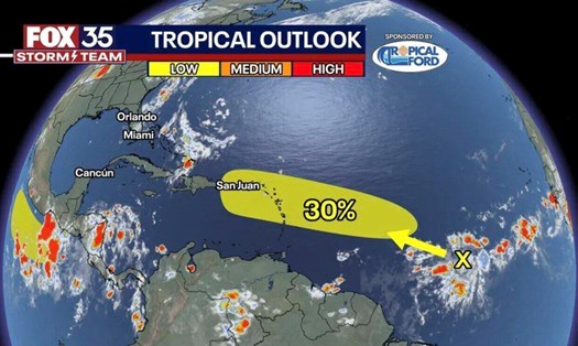
Latest developments of storm Emilia in the Pacific Ocean

NGUYỄN ĐẠT |

Post-tropical cyclone Emilia weakened over the Pacific and left its final effects.

On the night of August 9, 2024, the Joint Cyclone Warning Center (JTWC) issued the final notice about post-tropical storm Emilia (code 05E) in the East Pacific Ocean.

The storm has been downgraded from a tropical storm to a post-tropical cyclone and is gradually weakening.

The center of storm Emilia was located near 22.1 degrees North longitude and 124.8 degrees West longitude, about 1400 km southwest of San Diego.

The storm is moving northwest at a speed of about 26 km/h. The strongest wind near the center of the storm remains at 55 km/h, with gusts up to 74 km/h.
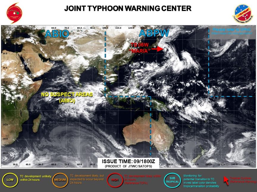
Emilia has weakened and is no longer under a dangerous storm warning. Photo: JTWC

It is forecast that in the next 72 hours, storm Emilia will continue to move northwest and gradually weaken.

By August 12, the storm is expected to completely dissipate at 24.7 degrees North longitude and 136.6 degrees West longitude.

Although Emilia is weakening, experts continue to closely monitor this system to detect and issue warnings if there are any signs of reactivation.

With this situation, tourists can now travel to nearby sea and island tourist destinations, but still need to monitor weather reports and continuous updates when traveling in the Eastern Pacific region.

If you plan to take a boat trip or participate in ocean activities, check the weather forecast and sea conditions before departure.

Note that although the storm has weakened, waves could still be up to 5 meters high in some areas. Be cautious when participating in water activities.

Stay in touch with loved ones and update your travel plans if there are any changes.

Comply with all instructions and warnings from local authorities and tourism authorities.

NGUYỄN ĐẠT
TIN LIÊN QUAN

6 người thiệt mạng vì bão số 4 Debby

Minh Anh |

Bão số 4 Debby gây ra nhiều thảm họa trước khi suy yếu thành áp thấp nhiệt đới, ít nhất 6 người thiệt mạng vì thiên tai.

Bão số 4 thành áp thấp nhiệt đới, tiếp tục tàn phá nghiêm trọng

NGUYỄN ĐẠT |

Dù đã suy yếu, áp thấp nhiệt đới Debby vẫn gây mưa lớn và nguy cơ lũ lụt nghiêm trọng khi hoạt động trong đất liền nước Mỹ.

Áp thấp mới có khả năng mạnh lên thành bão số 5

NGUYỄN ĐẠT |

Trung tâm Bão Quốc gia Mỹ đang theo dõi một vùng áp thấp ở Đại Tây Dương có khả năng mạnh lên thành áp thấp nhiệt đới và bão nhiệt đới trong vài ngày tới.

Bão số 4 Debby càn quét khi đổ bộ, gây thảm họa mưa lũ

NGUYỄN ĐẠT |

Dự báo mới nhất cho thấy cơn bão nhiệt đới Debby sẽ để lại những hậu quả nặng nề tại khu vực Nam Carolina, Mỹ trước khi suy yếu.

Six people died due to Typhoon 4 Debby

Minh Anh |

Tropical Storm Debby caused numerous disasters before weakening into a tropical depression, resulting in at least 6 fatalities due to natural disasters.

Tropical Storm Number 4 Becomes Low-Pressure Area, Continues to Cause Severe Damage

NGUYỄN ĐẠT |

Despite its weakening, tropical depression Debby still causes heavy rain and a severe flood risk when it operates on land in the United States.

A new low-pressure system has the potential to intensify into Typhoon No. 5

NGUYỄN ĐẠT |

The National Hurricane Center is monitoring a low-pressure area in the Atlantic Ocean that has the potential to strengthen into a tropical depression and a tropical storm within the next few days.

Typhoon 4 Debby is expected to bring severe flooding when it makes landfall, resulting in a devastating flood disaster

NGUYỄN ĐẠT |

The latest forecast indicates that the tropical storm Debby will leave severe consequences in the area of South Carolina, USA before weakening.