According to the National Center for Hydro-Meteorological Forecasting, at 1:00 p.m. on December 22, the center of the tropical depression was located at about 7.6 degrees North latitude; 114.9 degrees East longitude, in the South China Sea, about 350km East Southeast of Truong Sa archipelago.
The strongest wind near the center of the tropical depression is level 7 (50-61km/h), gusting to level 9; moving north at a speed of 20-25km/h.
The forecast bulletin predicts that in the next 24 to 48 hours, the tropical depression will move in a North-Northwest direction at a speed of 15-20 km/h, with the potential to strengthen into a storm.
At 1:00 p.m. on December 23, the center of the tropical depression will be at about 11.0 degrees North latitude - 112.9 degrees East longitude, in the southwestern sea area of the Central East Sea, with intensity of level 8, gusting to level 10.
The danger zone is forecast to be from 6.5 degrees North latitude to 13.0 degrees North latitude and from 112.0 degrees East longitude to 116.0 degrees East longitude.
At 1:00 p.m. on December 24, the tropical depression will move westward at a speed of about 10 km/h, located at about 11.1 degrees North latitude - 111.3 degrees East longitude, in the southwestern sea area of the Central East Sea, with a level 8 intensity, gusting to level 10.
The danger zone will extend from 10.0 degrees North Latitude to 13.0 degrees North Latitude and from 110.0 degrees East Longitude to 114.0 degrees East Longitude.
During the next 48 to 72 hours, the storm will move in a West Southwest direction, traveling about 10km per hour and gradually weaken into a tropical depression.
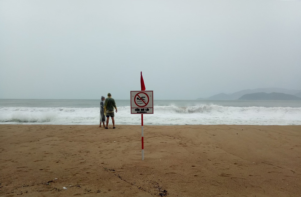
Forecast for the South East Sea area (including Truong Sa archipelago) and the sea area southwest of the Central East Sea area will have strong winds of level 6-7, the area near the storm center will have strong winds of level 8, gusts of level 10, waves 4.0-6.0m high; rough seas.
Vessels operating in these danger zones are susceptible to storms, whirlwinds, strong winds and large waves.

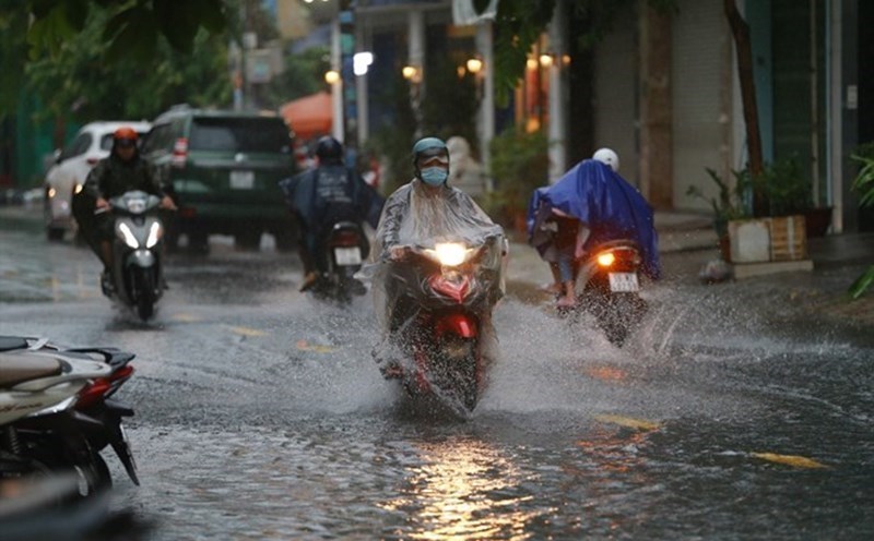
Residents and tourists in localities forecasted to be affected by the tropical depression such as Ba Ria - Vung Tau, Binh Thuan, Ninh Thuan... need to pay attention to the next weather forecasts to have measures to ensure safety and proactively plan travel and outdoor activities.


