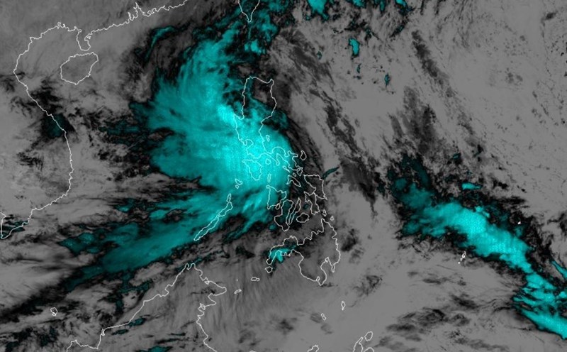
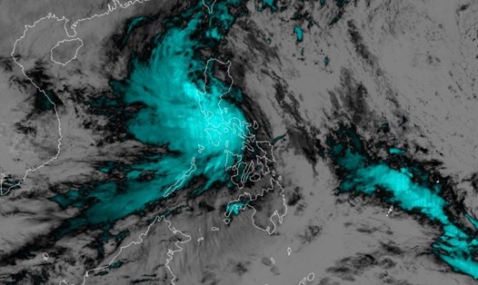
According to the latest information from the Joint Typhoon Warning Center (JTWC) of the US Air Force and Navy, at 12:00 on October 25, tropical storm Tra Mi was moving west at a speed of 20 km/h, about 551 km southeast of Hong Kong (China).
Currently, storm Tra Mi has sustained winds of about 100 km/h, with gusts of up to 130 km/h. The storm's central pressure is measured at 983 mb, with maximum wave heights of up to about 6.7 m.
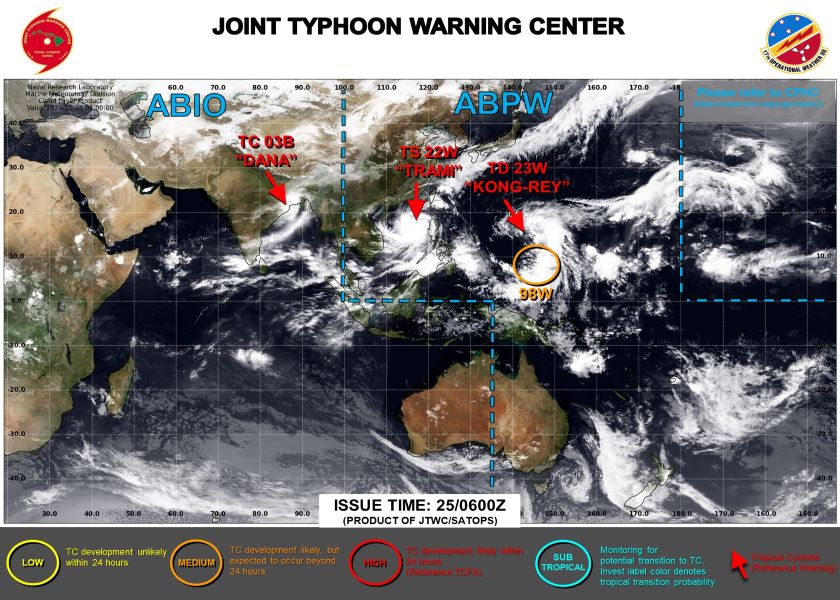
The area affected by strong winds above 92.6 km/h has a radius of 148 - 203 km from the center of the storm. The area affected by winds above 62 km/h is even larger, with a radius of 277 - 463 km.
According to the forecast from JTWC, in the next 48 hours, storm Tra Mi will move southwest and gradually weaken.
At 12:00 on October 27, the storm will enter the area at coordinates 16.5 degrees North latitude; 108.7 degrees East longitude with wind speed reduced to 83 km/h.
By October 30, the storm will weaken into a tropical depression with winds of only 46 km/h.
According to the National Center for Hydro-Meteorological Forecasting, at about 10:00 p.m. on October 27, the storm center was at 16.1 degrees North latitude - 108.3 degrees East longitude; in the coastal waters of the Central Central provinces. Intensity level 10, gust level 12.
From the next 72 to 120 hours, the storm will move mainly to the East at 5-10km per hour, and its intensity will continue to weaken.
In the North East Sea, strong winds level 8-9, near the storm center level 10-12 (89-133km/h), gusts level 15, waves 5.0-7.0m high, near the storm center 7.0-9.0m; rough seas.
From early morning on October 27, the sea areas from Quang Binh to Quang Ngai (including Con Co Island, Cu Lao Cham, Ly Son) will have winds gradually increasing to level 6-7, then increasing to level 8-9, near the storm center level 10-11, gusting to level 14, waves 3.0-5.0m high, near the storm center 5.0-7.0m; rough seas.
From the morning of October 27, coastal areas from Quang Tri to Quang Nam provinces are likely to experience storm surges of 0.4-0.6m high.
High risk of landslides of sea dikes and embankments along the coast of provinces from Quang Tri to Quang Nam due to the impact of big waves and storm surges.
Meteorological experts warn that the developments of storm number 6 are still very complicated and may change.
Due to the complicated storm situation, tourists planning to visit the coastal provinces of Northern and Central Vietnam and neighboring countries should limit their beach tourism activities from October 26 to 28.
If you are already in an area at risk, stay away from areas at risk of landslides and flooding. Prepare necessary supplies and medicines.
Suspend diving and water sports activities, do not swim when there is a warning of high waves, avoid boating or canoeing in bad weather conditions.
Residents and visitors need to monitor weather reports and follow the instructions of authorities.


