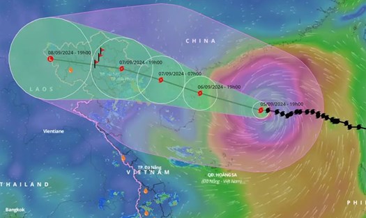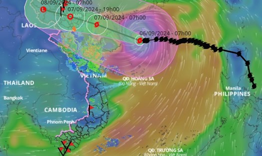


According to the quick news about storm No. 3 issued by the National Center for Hydro-Meteorological Forecasting at 6:00 p.m. on September 7, the center of storm No. 3 is located at about 20.0 degrees North latitude; 110.4 degrees East longitude, about 370km from Quang Ninh, on the mainland northeast of Hainan Island (China); about 370km east southeast of Quang Ninh.
The strongest wind near the storm center is level 16 (184-201km/h), gusting over level 17, moving in the West Northwest direction, speed 15-20km/h.
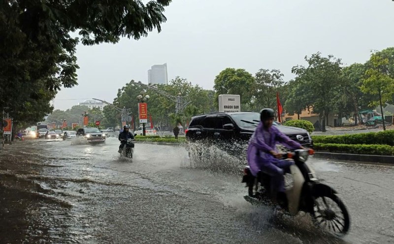
It is forecasted that around the afternoon to night of September 7, the storm will move ashore in the northern provinces. The northern region and Thanh Hoa will experience a heavy rainstorm with total rainfall ranging from 100-350mm, with some places exceeding 500mm. The heaviest rain in the northeast will be concentrated during the day and night of September 7; in the northwest from the evening of September 7-8.
Many localities have advised residents and tourists to proactively respond and implement safety measures. In particular, limit going out during the storm, which causes heavy rain, floods, and strong winds.