According to the National Center for Hydro-Meteorological Forecasting, storm No. 3 is expected to make landfall around the evening of September 7. However, from tonight, September 6, many areas in the North have had heavy rain accompanied by strong gusts of wind.
The quick bulletin on storm No. 3 at 4:00 p.m. on September 6 recorded the center of the storm at approximately 19.9 degrees North latitude; 110.8 degrees East longitude, approximately 415km from Quang Ninh. Strongest wind: Level 16 (184-201km/h), gusting above level 17.
Forecast in the next 3 hours, the storm moves in the West Northwest direction, speed about 15-20km/h.
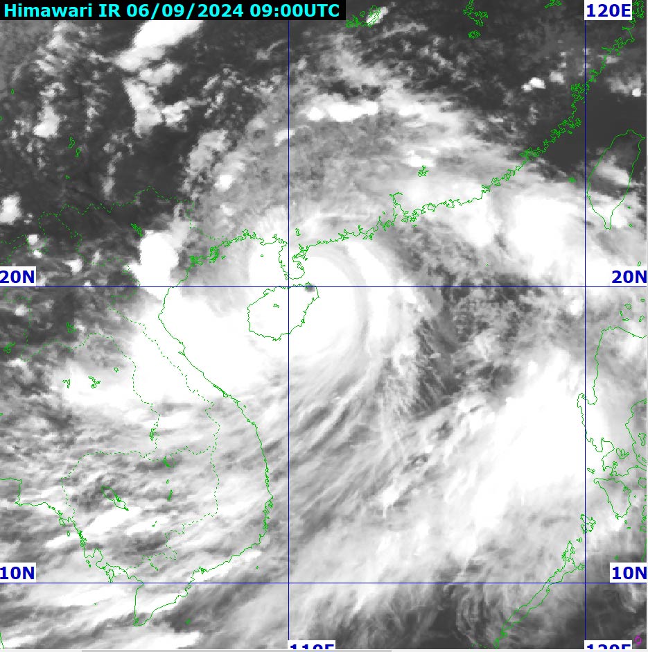
Storm No. 3 is considered a very strong storm, forecast to continue to maintain super storm level (level 16 or higher).
From the night of September 6-9, the Northern region and Thanh Hoa are likely to experience heavy rain, locally very heavy rain and thunderstorms with total rainfall ranging from 100-350mm, in some places over 500mm.
The heaviest rain in the Northeast will be concentrated during the day and night of September 7; in the Northwest from the evening of September 7-8. Heavy rain is likely to cause flooding in low-lying areas; flash floods on small rivers and streams, and landslides on steep slopes.
Storm No. 3 is forecast to cause widespread flooding in mountainous provinces, the Northern midland delta, urban areas, especially the provinces of Quang Ninh, Hai Phong, Lang Son, Cao Bang, Ha Giang, Yen Bai, Bac Can, Thai Nguyen, Thanh Hoa, Nghe An.
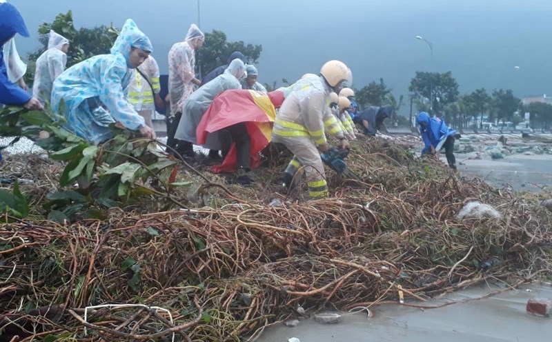
Faced with the devastation caused by Typhoon No. 3 Yagi, many localities have advised residents and tourists to proactively respond and implement safety measures. In particular, limit going out this weekend, because during the time the typhoon makes landfall, it will cause heavy rain, floods, and strong winds.