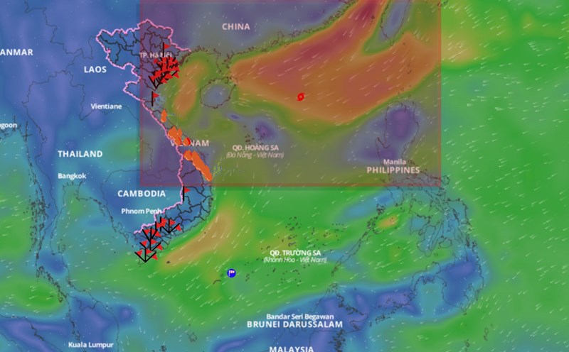
The National Center for Hydro-Meteorological Forecasting has issued a nationwide seasonal hydro-meteorological forecast bulletin (ie from December 2024 to May 2025).
The reporter had an interview with Dr. Hoang Phuc Lam - Deputy Director of the National Center for Hydro-Meteorological Forecasting - about the most notable weather features during the above period.

Sir, has ENSO now shifted to La Nina state and how has the ENSO phase transition scenario changed compared to previous forecasts?
- Currently, the sea surface temperature standard error in the central equatorial Pacific region is -0.3 degrees Celsius lower than the multi-year average in the first week of November 2024.
According to the latest forecasts, the probability of La Nina appearing in the last months of 2024 and early 2025 is significantly lower than previous forecasts.
In the next 3 months, La Nina is forecast to have a 50 - 55% chance of appearing, although the average sea surface temperature for the 3 months is still lower than the average of many years, but it is unlikely to exceed the threshold of -0.5 degrees Celsius (the threshold to determine La Nina).
ENSO phenomenon is likely to be neutral with a probability of 55 - 70% from about March to May 2025.
Over the past two months, the East Sea has been continuously hit by storms. How many more storms/tropical depressions are forecasted for this year’s storm season, sir?
- From September 2024 to now, there have been 7 storms in the East Sea.
From December 2024 to February 2025, it is forecasted that storm/tropical depression activity in the East Sea and its impact on Vietnam's mainland will likely be approximately the same as the average of many years.
According to the average data of many years in the above period, there were about 1.4 storms/tropical depressions in the East Sea, about 0.2 storms making landfall. If storms/tropical depressions make landfall, they are likely to be concentrated in the Central region and the southern provinces.
From March to May 2025, storm/tropical depression activity in the East Sea was at a level equivalent to the multi-year average. According to the multi-year average data in the above period, there were 0.5 storms/tropical depressions in the East Sea, none of which made landfall.
The forecast of natural disasters in the last period of the year is still complicated, what advice do you have for people?
- In case the meteorological agency issues a disaster warning, all response work must strictly follow the instructions of the National Steering Committee for Natural Disaster Prevention and Control and the local Command Committee to ensure prevention work to limit unfortunate damage in specific natural disaster situations.
Given the complicated situation of natural disaster forecasts from now until the end of the year, the National Center for Hydro-Meteorological Forecasting will closely monitor the development of the hydro-meteorological situation, strengthen and improve the quality of disaster forecasts and warnings.
Especially for natural disasters such as heavy rain, floods, landslides and flash floods; transmit diverse information on digital technology platforms and provide timely information to agencies and organizations in accordance with regulations to serve the work of preventing, combating and responding to natural disasters.
Thank you very much!


