The National Center for Hydro-Meteorological Forecasting has released a weather trend forecast for November 2024.
Regarding temperature trends, the average temperature across the country is generally 0.5 - 1 degree Celsius higher, in some places higher than the average of many years in the same period.
Mr. Nguyen Duc Hoa - Deputy Head of Climate Forecast Department, National Center for Hydro-Meteorological Forecasting - said that in November, cold air activity continued to increase in frequency and intensity.

According to Associate Professor, Dr. Mai Van Khiem - Director of the National Center for Hydro-Meteorological Forecasting, General Department of Hydro-Meteorology, in the first 10 days of the month, there is a possibility of causing the first cold spell of winter 2024 - 2025.
Previously, in October, there were two cold spells on October 1 and October 23. Of which, the cold spell on October 23 was strengthened on October 26, affecting the entire Northern and North Central regions. The lowest daily temperature dropped below 20 degrees Celsius, in high mountainous areas below 13 degrees Celsius such as Mau Son (Lang Son) 11.5 degrees Celsius; Ngan Son (Bac Kan) 10.8 degrees Celsius; Dong Van (Ha Giang) 11.2 degrees Celsius and Sin Ho (Lai Chau) 11.8 degrees Celsius.
Total rainfall in regions across the country in November is forecast to be 15-40% higher than the average of many years; in the midland and mountainous provinces of the North, the South Central Coast and the Central Highlands, rainfall is generally at a level approximately equal to the average of many years in the same period.
According to Mr. Nguyen Duc Hoa, in November, the Central region is still in the peak of the rainy season. Therefore, the Central region is likely to experience widespread heavy rains (mainly concentrated from southern Nghe An to Khanh Hoa). The Central Highlands and the South continue to experience many days of showers and thunderstorms, including days of moderate and heavy rain.
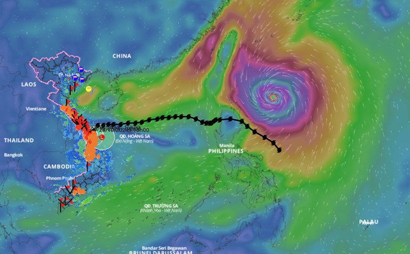
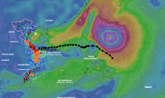
Regarding dangerous weather phenomena at sea, the meteorological agency forecasts that in November, storm/tropical depression activity in the East Sea and its impact on Vietnam's mainland is likely to be at a level approximately equal to the average of many years during the same period.
According to average data over many years, during the above period, there were 1.5 storms/tropical depressions in the East Sea, 0.9 of which made landfall in Vietnam.
Thus, this November, there is a possibility of 1-2 storms/tropical depressions appearing in the East Sea and about 1 storm affecting the mainland.
Previously, in October 2024, two storms appeared in the East Sea, including storm number 5 Krathon and storm number 6 Tra Mi.
Mr. Hoa warned that dangerous weather phenomena such as storms, cold air, thunderstorms, and tornadoes at sea can cause strong winds and large waves that affect activities in the East Sea area.
The meteorological agency noted that long-term warning bulletins are often trend forecasts. Therefore, to have a better basis for weather forecast information, people should wait for short-term bulletins issued daily by the National Center for Hydro-Meteorological Forecasting.


