
This evening, August 18, Ms. Tran Nhu Quynh, Weather Forecast Department, National Center for Hydro-Meteorological Forecasting, provided the latest forecasts about the heavy rain in the North and North Central regions.
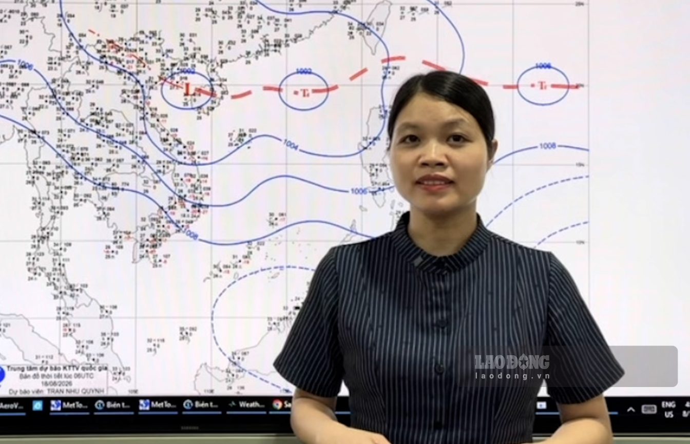
According to Ms. Quynh, the reason for widespread heavy rain is that there is currently a tropical convergence zone with an axis through the Northern region that is tending to move slowly south in combination with wind convergence at an altitude of up to 5000m that is tending to gradually become stronger.
From this evening August 18 to the night of August 19, the Northern mountainous region will have moderate to heavy rain with rainfall of 40 - 90mm, locally very heavy rain over 150mm.
From the evening of August 18 to August 20, the focus of heavy rain is the Northern Delta and the South of Phu Tho, from Thanh Hoa to the North of Quang Tri province. This area will have moderate rain, heavy rain and thunderstorms, with common rainfall of 100 - 200mm, locally very heavy rain over 300mm.
The Northern Midlands region has moderate rain, heavy rain and thunderstorms with common rainfall of 60 - 120mm, locally very heavy rain over 250mm.
From the night of August 20th, heavy rain will tend to gradually decrease in the Northern region. However, from the night of August 20th to August 21st, the area from Thanh Hoa to North Quang Tri will still experience moderate to heavy rain with common rainfall from 40 - 90mm, locally very heavy rain over 150mm" - Ms. Quynh assessed.
Representatives of the Weather Forecast Department added that the southern area of Quang Tri province to Hue city from the afternoon of August 19 to August 20, there will be moderate to heavy rain with common rainfall of 40 - 70mm, locally over 120mm.
Warning of the risk of heavy rain with rainfall greater than 100mm within 3 hours. In particular, it is necessary to prevent flash floods on small rivers and streams, landslides on slopes" - Ms. Nhu Quynh warned.
The meteorological agency also analyzed that currently in the South, the Southwest monsoon is operating with moderate to strong intensity, so in the late afternoon and night of August 18, there will be showers and scattered thunderstorms in the Central Highlands and Southern regions with rainfall of 15 - 30mm, locally heavy rain over 70mm. In thunderstorms, there is a possibility of tornadoes, lightning and strong gusts of wind.
In addition, a tropical depression is existing on the intertropical convergence zone in the sea area east of the Northern East Sea. The strongest wind near the center of the tropical depression is strong at level 6, gusting at level 8. In the next 24 - 48 hours, it will move in a west-northwest direction at a speed of 5 - 10 km/h.
From the next 48 to 72 hours, the tropical depression will continue to move in a West-Northwest direction, traveling about 10km per hour.
Ships and boats need to pay attention, the tropical depression will cause thunderstorms, tornadoes, strong winds of level 6, gusts of level 7, sea waves 2 - 3.5m high, rough seas in the northern sea area of the North East Sea" - Ms. Nhu Quynh advised.


