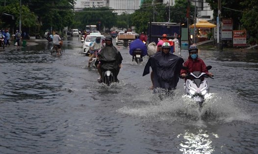
According to data from the National Center for Hydro-Meteorological Forecasting, last night and this morning (October 12), the area from Quang Nam to Phu Yen had moderate rain and thunderstorms, with some places having heavy to very heavy rain.
Rainfall from 7pm on October 11 to 8am on October 12 was over 100mm in some places such as: Hoa Tam (Phu Yen) 201mm, Cat Tien (Binh Dinh) 120.4mm, ...
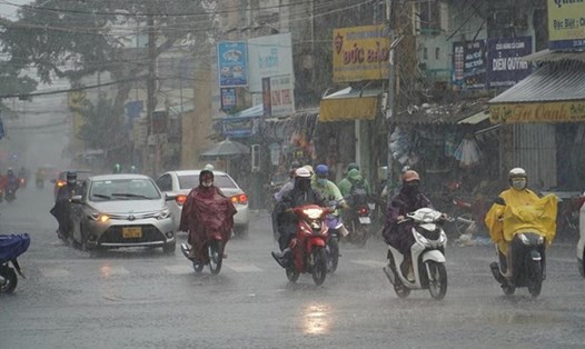
From Quang Ngai to Khanh Hoa on the day and night of October 12, it is forecasted to have moderate rain, locally heavy rain with rainfall from 20 - 40mm, locally over 70mm.
In the Southern Central Highlands and the South, in the afternoon and evening of October 12, there is forecast to be rain, moderate rain and thunderstorms, locally heavy to very heavy rain with rainfall from 20 - 40mm, locally over 90mm.
The meteorological agency warns that thunderstorms may cause tornadoes, lightning and strong gusts of wind. Localized heavy rains may cause flooding in low-lying areas; flash floods on small rivers and streams; and landslides on steep slopes.
Regarding sea weather, currently, the sea area from Quang Tri to Khanh Hoa and the Gulf of Thailand has scattered showers and thunderstorms.
Forecast for the day and night of October 12, the sea area from Quang Tri to Ca Mau, Ca Mau to Kien Giang and the Gulf of Thailand will have showers and thunderstorms. During thunderstorms, there is a possibility of tornadoes and strong gusts of wind of level 7 - 8.
In addition, the northeastern sea area of the North East Sea has strong northeast winds of level 5, sometimes level 6, gusting to level 7 - 8; rough seas; waves from 2 - 3.5m high.
All vessels operating in the above areas are at risk of being affected by tornadoes and strong gusts of wind.