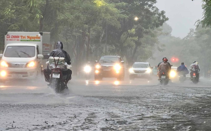
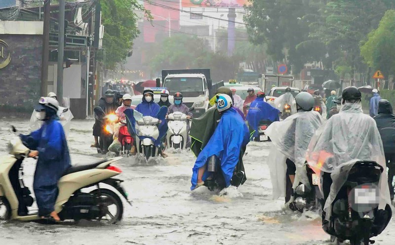
According to the National Center for Hydro-Meteorological Forecasting, currently, floods on the Huong River (Hue City) and the Vu Gia - Thu Bon River (Da Nang City) are rising; rivers in South Quang Tri, Quang Ngai and Gia Lai are fluctuating.
At 7:00 a.m. on October 27, 2025, the water level measured at some stations is as follows:
- On the Bo River (Hue city) at Phuoc station is 4.52 m, 0.02 m higher than alert level 3.
- On the Huong River (Hue city) at Kim Long station is 3.58 m, 0.08 m higher than alert level 3.
- On Vu Gia River (Da Nang City) at Ai Nghia Station is 9.01 m, reaching alert level 3.
- On Thu Bon River (Da Nang City) at Nong Son Station is 16.42 m, 1.42 m higher than alert level 3; at Cau Lau Station is 3.71 m, 0.29 m lower than alert level 3.
In the next 6 hours, floods on rivers in Hue city will continue to rise rapidly. At Phuoc station, the water level is likely to exceed the historical level (5.24 m in 2020) by 0.05 to 0.10 m; at Kim Long station, the water level is likely to rise about 1.10 m higher than alert level 3. On Vu Gia river at Ai Nghia station, floods continue to rise and remain above alert level 3.
In the next 12 hours, floods on rivers in Hue city will continue to rise slowly and remain high. Specifically, at Phu Oc station, the water level remains 0.05 to 0.10 m higher than the historical level; at Kim Long station, the water level continues to rise and reach about 1.20 m higher than alert level 3, but is still 1.11 m lower than the historical level.
On Thu Bon River at Cau Lau Station, the water level continued to rise and reached above alert level 3; on Vu Gia River at Ai Nghia Station, the water level fluctuated at a high level above alert level 3.
In the next 12 to 24 hours, floods on rivers in Hue city tend to decrease gradually but remain above alert level 3; on Thu Bon river at Cau Lau station, the flood decreased and dropped below alert level 3; while on Vu Gia river at Ai Nghia station, the flood continued to decrease but remained above alert level 2.
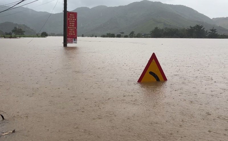
From today (October 27) to October 29, a new flood will appear on the rivers from Quang Ngai to Gia Lai. During this flood, the peak water level on Tra Khuc and Ve rivers (Quang Ngai province) is likely to rise to alert level 1 to alert level 2, in some places exceeding alert level 2; the upstream of Kon river and some small rivers and streams in Gia Lai, along with rivers in South Quang Tri, is likely to rise to alert level 1 to alert level 2.
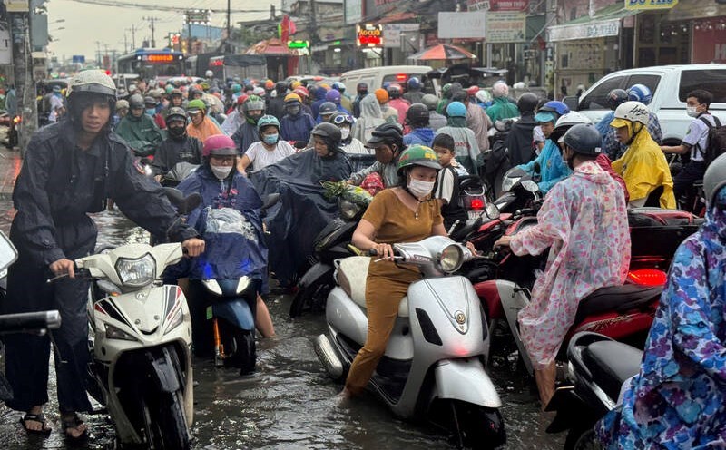
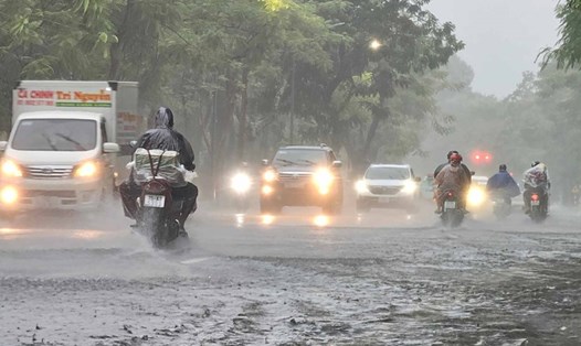
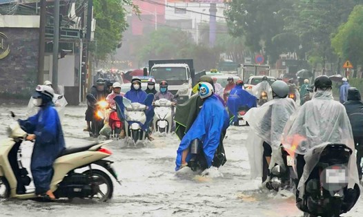
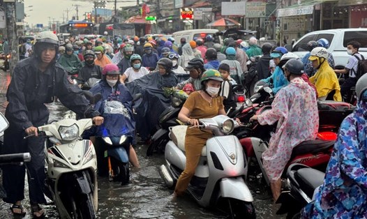
There is a high risk of widespread flooding in Hue city and Da Nang city; at the same time, there is a high risk of flash floods on rivers and streams and landslides on steep slopes in provinces from South Quang Tri to Gia Lai.
Real-time warning information for areas at risk of flash floods and landslides is provided online on the website of the Department of Hydrometeorology (https://luquetsatlo.nchmf.gov.vn) and in a separate bulletin warning of flash floods and landslides.
The meteorological agency warns that the risk of natural disasters due to floods is level 3. Floods on rivers can cause serious flooding in low-lying areas along rivers, directly affecting waterway transportation, aquaculture, agricultural production, people's lives and socio-economic activities.
Forecast and warning information is calculated according to the expected regulation level of discharge from upstream reservoirs. The Hydrometeorological Agency will update bulletins when there are changes in the discharge of lakes.