On the morning of October 27, convective clouds existed and developed in the areas of Dong Nai, Ho Chi Minh City, Long An...
In the next 4 hours, these convective clouds will continue to cause showers and thunderstorms in the above area, then may expand to neighboring areas.
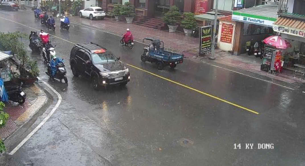
Rainfall is generally from 12-50mm, some places over 50mm. During thunderstorms, beware of tornadoes, hail and strong gusts of wind around level 5-7 (8-17m/s), heavy rain causing localized flooding.
The thunderstorms are caused by a tropical convergence zone with an axis through the Central Central region connecting with storm No. 6 operating in the North East Sea.
The sea area from Ba Ria-Vung Tau to Ca Mau (including Ho Chi Minh City sea area) has southwest wind at level 5, sometimes level 6, gusting to level 7-8; wave height from 2.0-4.0m.
The sea area from Ca Mau to Kien Giang and the Gulf of Thailand has West to Southwest winds at level 4-5; wave height 1.0-2.0m. In both sea areas, there will be scattered showers and thunderstorms. During thunderstorms, beware of tornadoes and strong gusts of wind.