
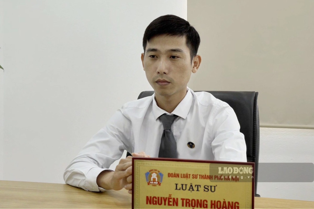
Talking to Lao Dong Newspaper, lawyer Nguyen Trong Hoang - Law Firm LawKey Co., Ltd. - said that when re-measuring and the actual area is larger than the area recorded on the Certificate, land users need to determine the cause of the increased area to have appropriate handling directions.
Based on the provisions of Clause 6 Article 135 of the 2024 Land Law, it is stipulated as follows:
The actual area is larger than the Certificate, after measurement, if the boundary of the land plot being used does not change compared to the time the certificate was issued, and there is no dispute with adjacent land users, then when re-issuing or renewing the certificate of land use rights, ownership of assets attached to land, the area will be determined according to actual measurement data.
In case of re-measuring and the boundary of the land plot changes compared to the boundary of the land plot at the time of issuance of the certificate and the actual measured land area is larger than the area recorded on the certificate, the larger difference in area is considered for issuance of a Certificate of land use rights, ownership of assets attached to land.
Accordingly, lawyer Nguyen Trong Hoang said that when people re-measure the land and see changes in area and boundaries, they can register for changes to update information on the Certificate of Land Use Rights.
Procedures for issuing red books for land plots with increased area
Decision 3380/QD-BNNMT stipulates the order and procedures for registration and issuance of Land Use Right Certificates for land plots with increased area due to changes in boundaries compared to the issued Certificate, which are carried out through 3 main steps.
Step 1: Submit application
The applicant can submit the application at the Public Administrative Service Center, Land Registration Office or the Provincial Branch of the Land Registration Office. The application can submit a copy with the original for comparison, submit the original, or submit a notarized and certified copy. In case of online submission, the application must be digitized from the original or notarized and certified copy.
If submitting a copy or digitized copy, when receiving the results, the registrant must submit the original according to regulations. In case of confirming changes on the issued Certificate, the registrant must submit the original Certificate.
Step 2: Receive and check the dossier
The receiving agency is responsible for checking the dossier components. If the dossier is complete, the receiving agency issues a Receipt Certificate and schedules a result return. If the dossier is missing, the agency will return it with a Supplementary Request Form. In case the dossier is received at the Public Administrative Service Center, this unit will transfer it to the Land Registration Office or branch for processing.
Step 3: Resolve procedures
Case 1: The original land plot already has a Certificate, the additional area due to receiving land use rights transfer
The land registration office or branch will notify the transferring party and publicly post it at the commune-level People's Committee. If the transferring party's address is unknown, the notice is posted in the mass media 3 times. After 30 days from the date of the first notice or posting without a complaint, the functional agency will:
- Check the conditions for exercising rights according to the Land Law. If conditions are not met, the dossier will be returned.
- Check and approve extracts from cadastral maps or excerpts from cadastral maps if necessary.
- Send the Information Transfer Sheet to the tax authority to determine financial obligations.
- Update changes to cadastral records and land databases.
- Issuing a new Certificate or confirming changes on the issued Certificate. If there are financial obligations, only issued after people complete.
- In case disputes arise, people are instructed to submit applications to competent authorities for resolution.
Case 2: The original land plot already has a Certificate, the increased area has not been granted a Certificate
- The dossier is transferred to the commune-level People's Committee where the land is located to verify the current status of land use, works, disputes, origin of use and planning conformity. The inspection results will be publicly posted for 15 days at the commune People's Committee and residential area, and at the same time receive and resolve feedback (if any). After that, the dossier and results are transferred back to the Land Registration Office or the Branch of the Land Registration Office.
- The issuance of the Certificate is carried out directly or through the agency receiving the dossier. If financial obligations arise, the procedure is only completed when there are documents proving that they have been fully submitted. In case of dispute, the registration agency will guide the parties to send applications to the competent authority for resolution according to legal regulations.


