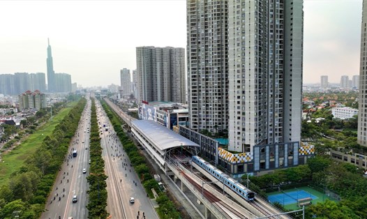
New direction for urban development in Ho Chi Minh City
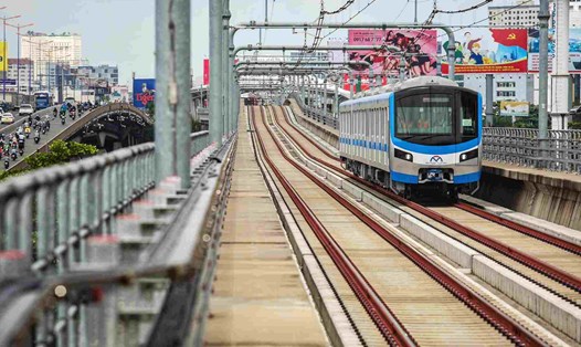
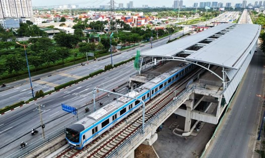
The TOD (Transit Oriented Development) model focuses urban development around stations, urban railway lines and major intersections, with mixed-use, high-density land use planning, creating residential and commercial areas directly connected to the public transport system.
According to Resolution 98, Ho Chi Minh City is allowed to pilot the TOD model and use public investment budget to compensate, support and resettle areas near metro stations and Ring Road 3 intersections. This gives the city flexibility in adjusting construction density and technical infrastructure targets.
Ho Chi Minh City expects the TOD model to help optimize land value around stations and beltways, while creating additional capital to reinvest in transport infrastructure.
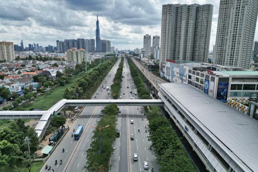
Ho Chi Minh City's TOD plan is divided into 3 implementation models, depending on the location and characteristics of the area.
Core metro station area (radius 400 - 500m): This is the area with the highest density of urban development, with interspersed commercial, service and residential activities.
These areas encourage people to walk, with urban railways as the main means of transport, creating a convenient living environment, minimizing the use of personal vehicles.
Station transition area (radius 500 - 1,000m): This area is characterized by high urban density, connected to the station by bus, bicycle, and light transport. Social services and multifunctional residential buildings are arranged, in which urban railways still play the role of the main means of transport.
Ring Road 3 Intersection Area: These are development areas around the main intersections of Ring Road 3, including residential, industrial and logistics areas, with medium and high-rise urban areas surrounding the central core.
The main means of transport in the area are bicycles and trams, with connections to the outside via ring roads and public transport.
2 phases of TOD implementation
Phase 2024 - 2025 will be the first milestone of the TOD implementation process with 9 pilot locations identified.
Metro No. 1: Area around Phuoc Long station (Truong Tho area, Thu Duc city), area of over 160 hectares.
Metro No. 2: Three locations include Block I/82a, Tay Thanh (26.65ha); Exhibition Center and Sports Center of Tan Binh District (5.1ha); area C30 near Le Thi Rieng station (40.9ha).
Belt 3: Large areas of land such as Coconut Farm (152.6ha) and Long Binh area (29ha) in Thu Duc City. Area No. 8 is 198.4ha in Tan Hiep, area No. 6 is 389.3ha in Xuan Thoi Thuong and area 104.9ha in Xuan Thoi Son (Hoc Mon district).
During this phase, the city will complete the determination of boundaries, planning and legal status of each land plot from the fourth quarter of 2024 to the first quarter of 2025. After that, the planning adjustment work will be implemented in 2025, with the investor selection procedure expected to be completed by the end of 2025.
In the 2026 - 2028 period, additional TOD areas will continue to be implemented, especially at two locations: the 290.2ha area in Tan Hiep commune (Hoc Mon) along Ring Road 3 and the area around Tan Kien station, Binh Chanh district (314ha) belonging to Metro Line 3 extension and the Ho Chi Minh City - Can Tho railway line.
In these areas, the process will include determining boundaries, planning and land legality in the second and third quarters of 2025. The planning will then be adjusted in the second and fourth quarters of 2025, with investor selection procedures completed in early 2026.


