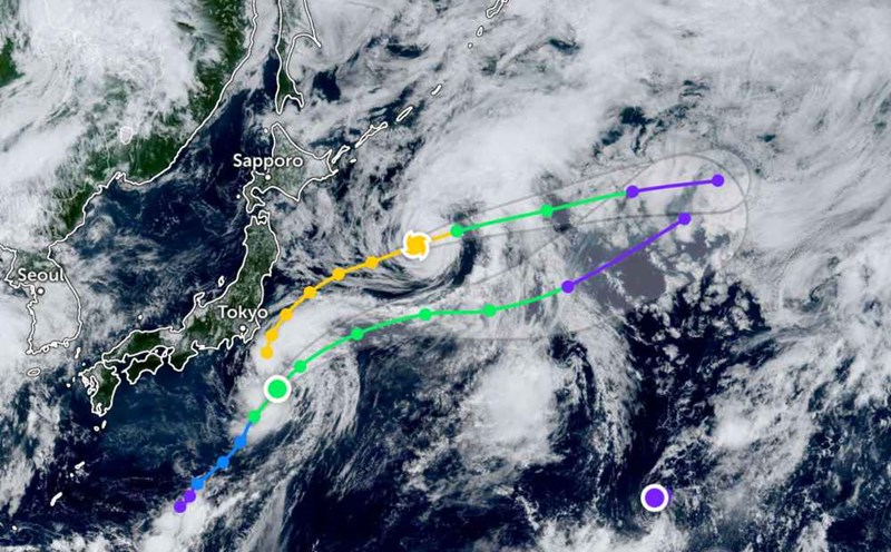
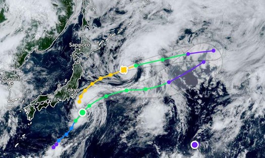
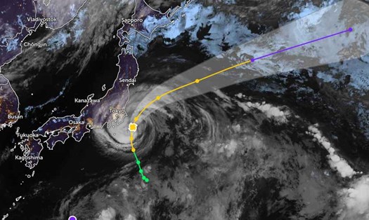
According to the latest storm information from the Joint Typhoon Warning Center (JTWC), tropical depression Bailu has strengthened into a tropical storm and is moving very rapidly northeast, away from the Tokyo area.
The storm is moving northeast at a speed of 37 km/h, with sustained winds of 65-75 km/h and gusts of up to 80 km/h. The highest waves are about 5.2 meters.
The closest approach is Yokosuka, Japan, and the center of the storm is heading away from land. However, this area still maintains a state of readiness to respond to bad weather.
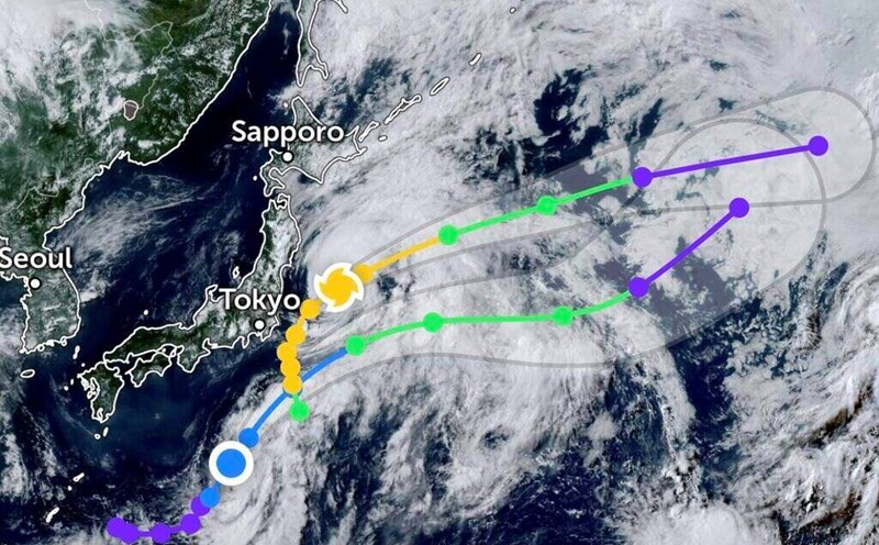
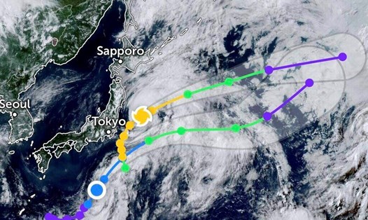
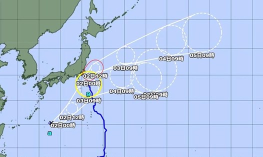
In the next 1-2 days, Bailu will continue moving northeast, but the speed may decrease. The storm will then accelerate back northeast in the following period.
It is forecasted that in the next 2 days, the storm will maintain a stable intensity before gradually weakening. Bailu is forecast to begin to turn into a low pressure area after 3 days.
Before Typhoon Bailu, Typhoon Krosa was more than 1,300 km east of Misawa City (Japan) and continued to move east-northeast at a rapid speed of about 44 km/h. The highest waves recorded were 6.1 meters.
Krosa will continue to move steadily in the east-northeast direction at a speed of about 40-45 km/h.
It is forecasted that in the next 36 hours, Krosa will gradually weaken into a low pressure area as it moves into colder waters.
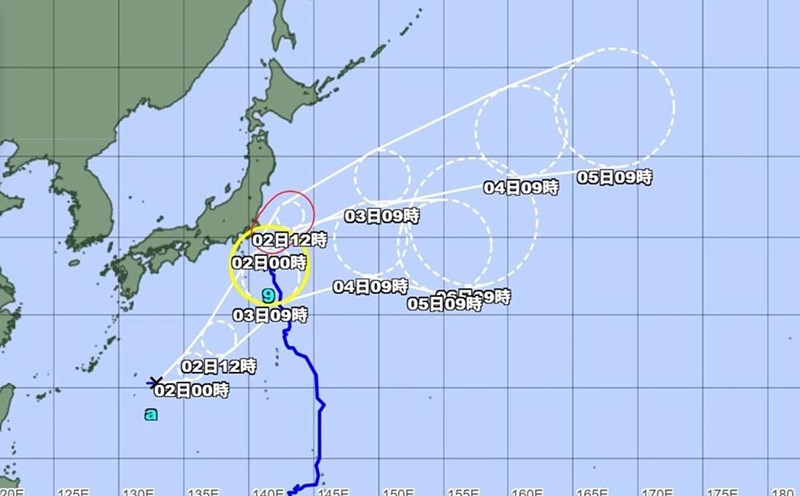
Meanwhile, tropical depression Co-may (also known as storm No. 4 or typhoon Co May in Vietnam) has now weakened significantly as it moves out of mainland China.
A part of the storm remnants will move out to the Hoang Hai sea, but the possibility of strengthening into a storm is very low. It is forecasted that in the next 36 hours, the low pressure will gradually dissipate after about 12 days from the formation start on July 23.
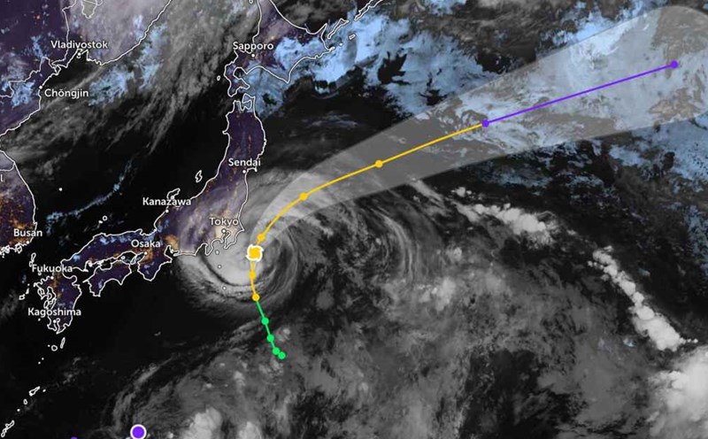
Tourists note that the eastern part of Japan, especially the sea off the coast of Tokyo, may have high waves and strong winds in the next few days.
Travelers should regularly monitor weather updates and information from airlines or airlines if they plan to travel by sea or to coastal areas east of Japan.