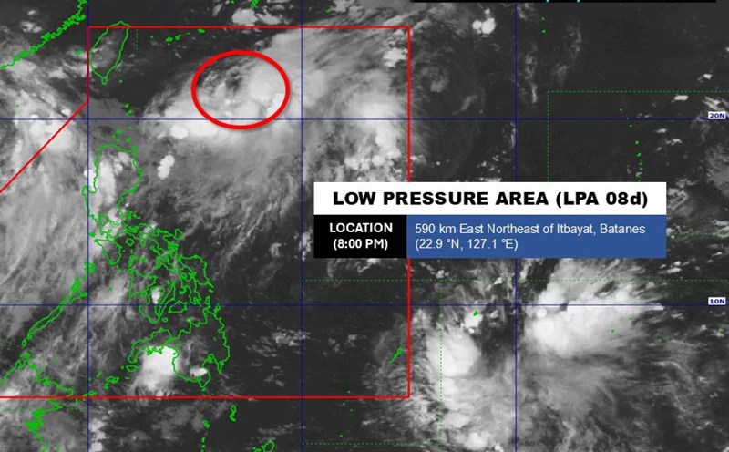
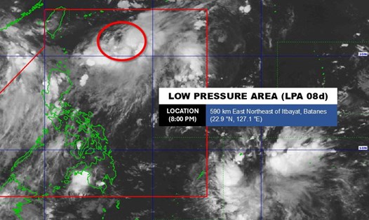
According to the new weather forecast from the Joint Typhoon Warning Center - JTWC), tropical depression Huaning is active near the East Sea.
models predict that the tropical depression will move northward over the next 24 hours, with the system likely to strengthen.
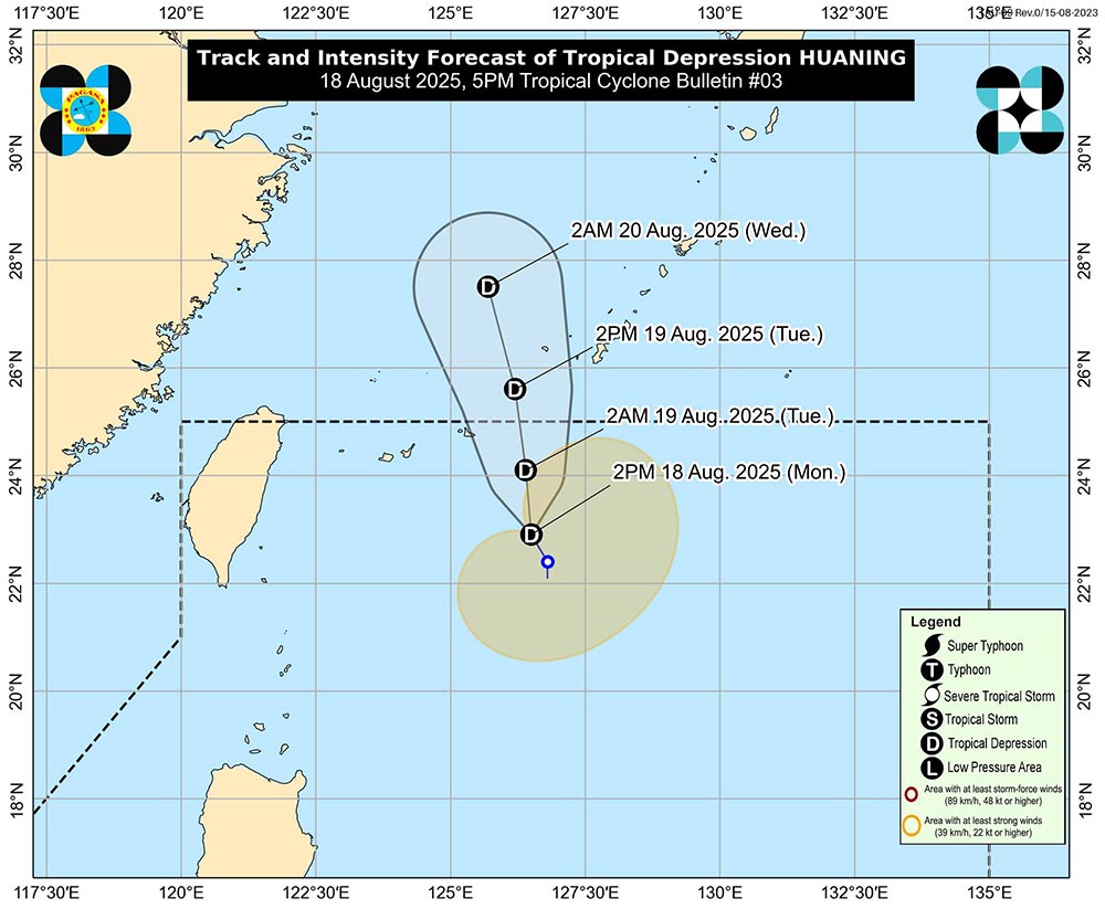
According to the Philippine Atmospheric, Geophysical and Astronomical Services Administration (PAGASA), tropical depression Huaning is at 23.1 degrees North latitude - 126.5 degrees East longitude. The strongest wind near the center reaches 55km/h, gusting to 70km/h.
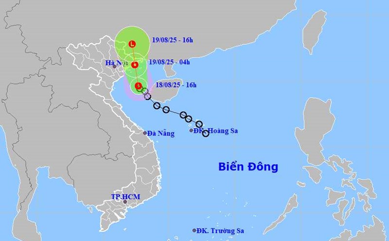
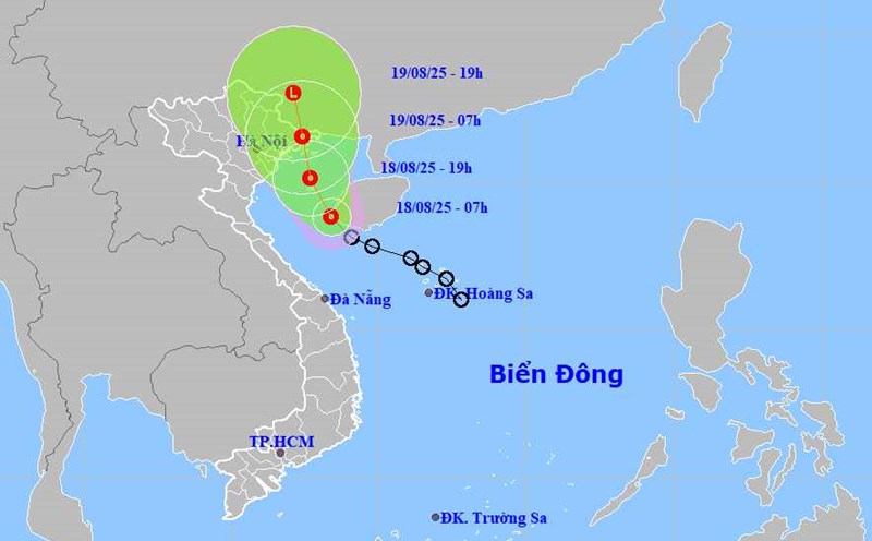
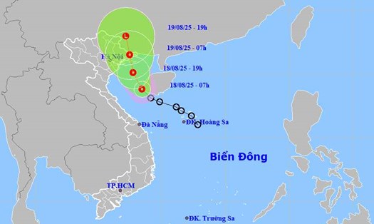
Meanwhile, the tropical depression in the Gulf of Tonkin is 222 km southeast of Hanoi, moving northwest at a speed of about 13 km/h.
The JTWC forecasts that in the next 12 hours, the tropical depression is likely to strengthen slightly, reaching a maximum of 55-65 km/h.
The tropical depression is expected to make landfall along the coast of Vietnam, east of Hai Phong city or Quang Ninh, in the next 12-15 hours.
After making landfall, the tropical depression will continue to move north, through the Northeast region and move to southern China, gradually weakening and dissipating within 24-36 hours.
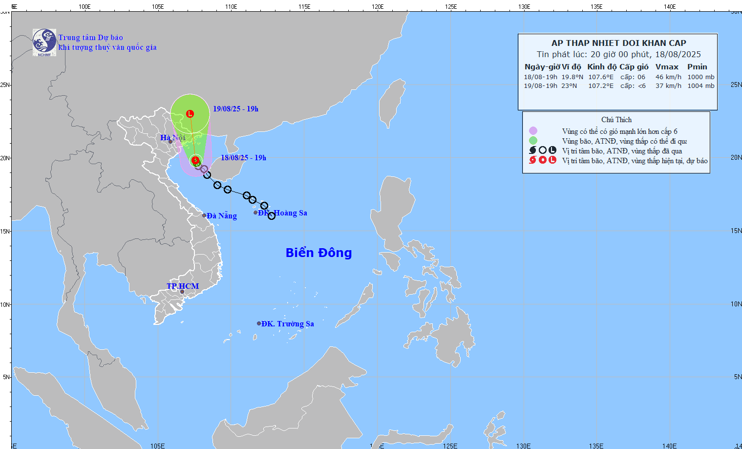
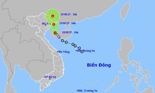
According to the National Center for Hydro-Meteorological Forecasting, on the evening of August 18, the center of the tropical depression was at about 19.8 degrees North latitude; 107.6 degrees East longitude, in the area north of the Gulf of Tonkin, about 140km south-southeast of the coast of Quang Ninh-Hai Phong provinces.
The strongest wind near the center of the tropical depression is level 6-7 (39-61km/h), gusting to level 9; moving in the North Northwest direction at a speed of about 15km/h.
By the evening of August 19, the tropical depression was over Guangxi province (China) and gradually weakened.
Ship operating in the above-mentioned dangerous areas are likely to be affected by thunderstorms, whirlwinds, strong winds, and large waves.
Coastal areas of Quang Ninh and Hai Phong have strong winds of level 6, gusting to level 8.
From the evening of August 18 to the night of August 19, the Northeast and Thanh Hoa will have moderate rain, heavy rain and thunderstorms with common rainfall of 50-120mm, locally very heavy rain over 250mm.
On the evening and night of August 18, Nghe An will have moderate rain, heavy rain and thunderstorms with common rainfall of 20-40mm, locally very heavy rain over 80mm.
People and tourists need to be on guard during thunderstorms with strong gusts of wind, landslides, flash floods...

