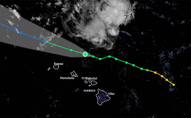
According to the new hurricane forecast from the US National Hurricane Center (NHC), the remnants of Super Typhoon Mario have clearly re-formed the eye of the storm, currently located just east of Socorro Island (Mexico).
Satellite data shows maximum sustained winds of about 65 km/h and will continue to increase to about 75-85 km/h today, September 15.
Mario moved slowly west-northwest at a speed of about 13 km/h. This trajectory is forecast to continue for the next few days under the impact of the high pressure mass over Mexico.
After two days, the storm may gradually weaken, turn more westward and dissipate within 3-4 days.
Currently, the favorable marine environment with 28-30°C water surface temperature, high media layer moisture and weak wind shear makes Mario likely to strengthen in the next 36 hours.
The National Hurricane Center (NHC) forecasts Mario could reach peak intensity with winds of up to 95 km/h on September 16 - shortly before weakening.
Superstorm Mario formed on September 12, becoming the 13th storm of the 2025 winter Pacific typhoon season.
Due to the storm's impact, many places in southern Mexico will have rain from 50-100 mm, locally up to 150 mm until the end of September 14.
Sea and ship tourism activities in the southwestern coast of Mexico, especially in the state of Michoacan, should closely monitor warnings, avoid going out to sea or participating in sea activities during the storm.
Tourists should consider adjusting their schedules and limit travel to areas with heavy rain to ensure safety.
In addition, there will be scattered showers and thunderstorms in the coastal areas of Vietnam.
Forecast on September 15, scattered showers and thunderstorms in the Gulf of Tonkin, the sea from South Quang Tri - Ca Mau, Ca Mau - An Giang, the Gulf of Thailand, the East Central Coast, the South East Sea (Truong Sa).
During thunderstorms, there is a possibility of tornadoes, gusts of wind of level 6-7, waves higher than 2m.
Ship in above areas are at high risk of being affected by tornadoes, strong winds, and large waves.


