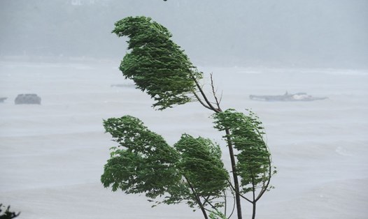
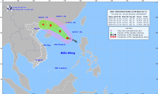
According to the latest storm information from the Central Pacific Hurricane Center (CPHC), Hurricane Kiko is forecast to pass north of the Hawaiian Islands (USA) on September 10 (local time).
The big waves generated by Kiko are gradually rising from the east to the west of the Hawaiian Sea and are likely to peak today.
The Institute for Meteorological Research Cooperation (CIRA) stressed that storm-generated waves could endanger Hawaiian waters this week.
This phenomenon can cause dangerous waves and offshore flows, so tourists and residents need to be especially careful when participating in sea activities.
In the coming days, Kiko is forecast to continue moving west-northwest and weaken rapidly, likely to gradually dissipate within the next 2 to 4 days.
Kiko is the 11th storm of the 2025 East Pacific hurricane season, lasting from May 15 to November 30, two weeks earlier than the Central Pacific and Atlantic hurricane seasons.
Hurricane Kiko is expected to weaken into a tropical depression as it passes through Hawaii but still has potential danger. Residents and tourists in Hawaii are advised to closely monitor local weather reports and follow safety instructions, especially regarding activities at sea and beaches.

