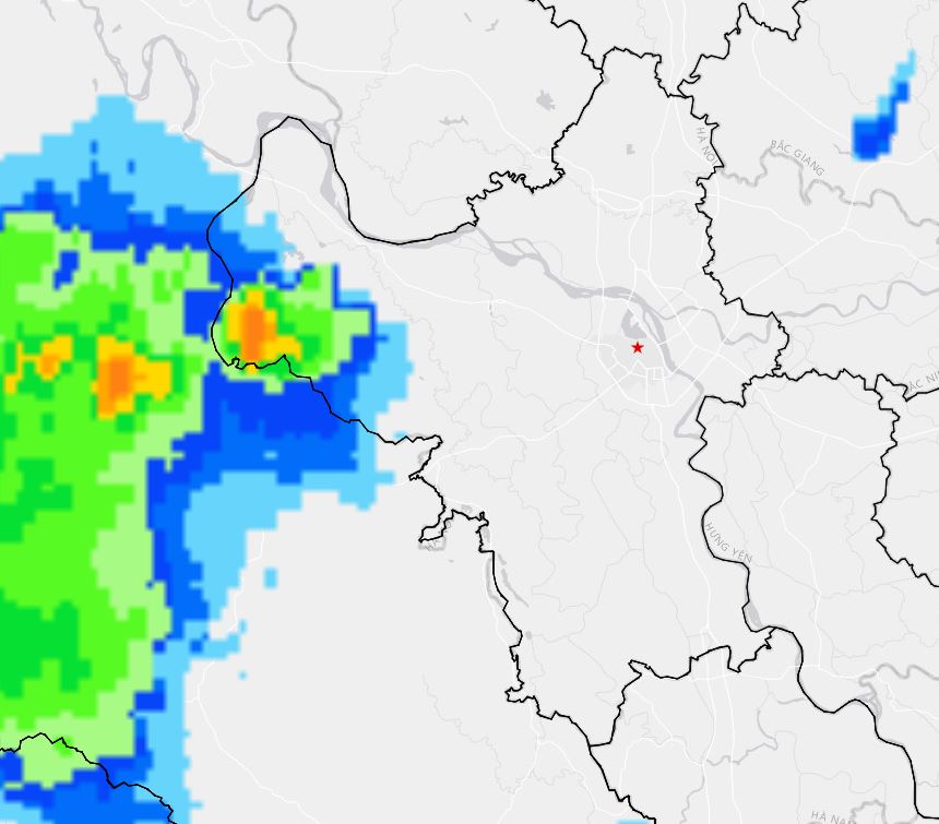
Updated bulletin issued at 4:05 PM on May 20 from the National Center for Hydro-Meteorological Forecasting, through monitoring on satellite images, weather radar images and lightning positioning data, convective clouds are developing in developing areas in wards/communes: Ba Vi, Yen Xuan, Yen Bai, Doai Phuong. This cloud area tends to develop and expand towards the inner city of Hanoi.
In the period from 30 minutes to 3 hours, the areas of Son Dong, Hoa Lac, An Khanh, Xuan Phuong, Tay Mo, Duong Noi, Dai Mo, Ha Dong and many other places in inner Hanoi are likely to experience showers and thunderstorms, then continue to spread. In thunderstorms, beware of tornadoes, lightning and strong gusts of wind.
From the evening of May 20 to May 21, the Northeast region, southern Lao Cai, southern Phu Tho, Thanh Hoa and Nghe An will have moderate to heavy rain with thunderstorms. Common rainfall is from 30-60mm, in some places over 100mm; especially the Northeast region is commonly 50-120mm, locally in some places exceeding 250mm. Risk of heavy rain intensity over 100mm in 3 hours.
Heavy rain can cause flooding in low-lying areas, urban areas and industrial parks; at the same time, it poses a risk of flash floods on small rivers and streams and landslides in hilly and steep areas.

In addition, in the late afternoon and night of May 20, other areas in the Northern region will continue to experience scattered showers and thunderstorms, common rainfall of 10-30mm, locally over 80mm. The Southern region also has scattered showers and thunderstorms in the late afternoon and evening of May 20, rainfall from 10-30mm, locally over 50mm.
In thunderstorms, it is necessary to be wary of dangerous weather phenomena such as tornadoes, lightning, hail and strong gusts of wind. Disaster risk level due to heavy rain, tornadoes, lightning and hail is level 1; Quang Ninh province is level 2.
People and tourists in Hanoi need to proactively monitor weather developments, limit movement through flooded areas, and be wary of thunderstorms, lightning and strong gusts of wind in the coming hours.


