According to the latest weather forecast from the National Center for Hydro-Meteorological Forecasting, today, November 3, cold air continues to affect other places in the Northeast region. After that, the cold air will continuously strengthen, expanding the area affecting the Northwest, North Central and some places in the Central Central region.
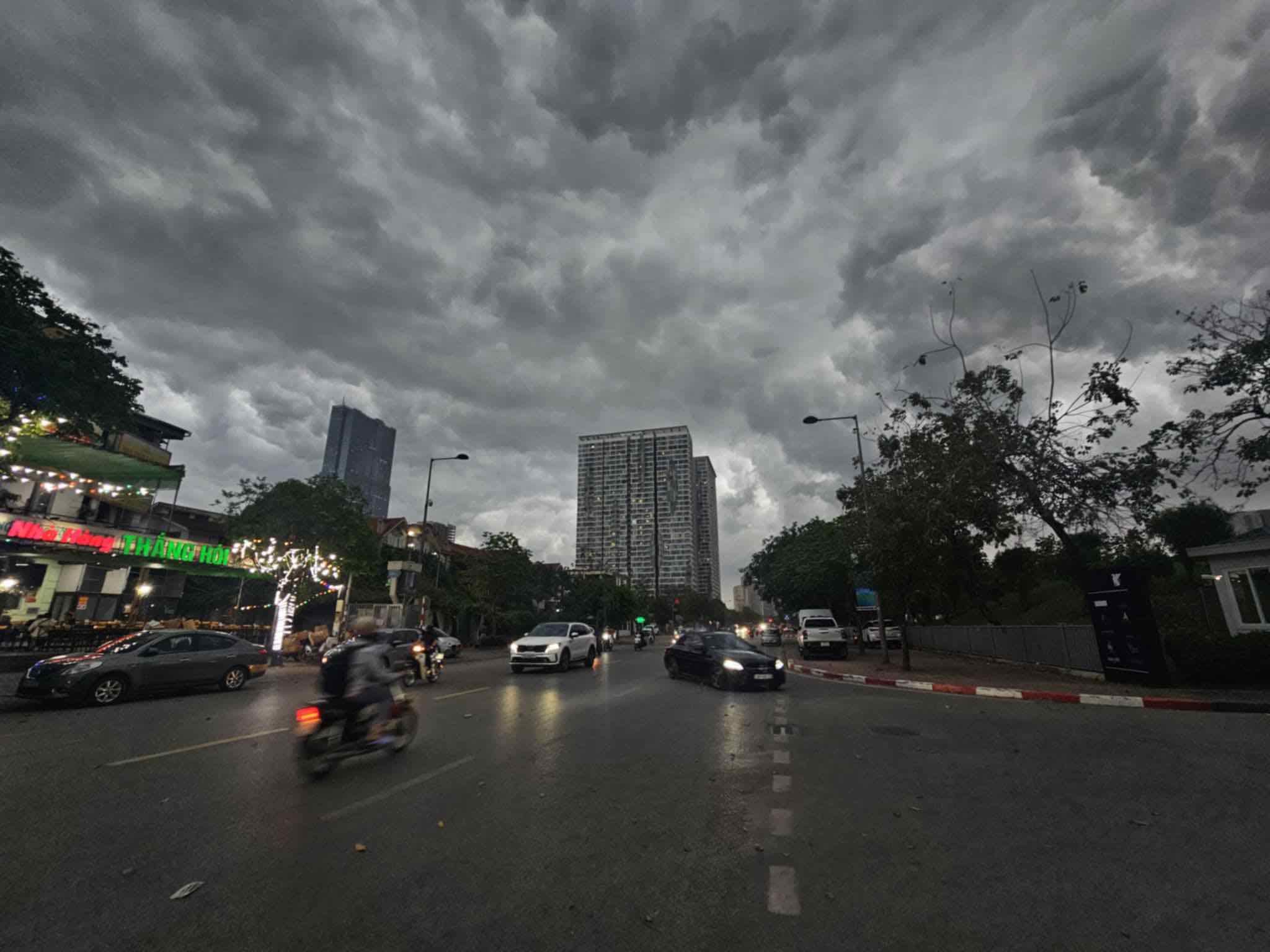
There will be rain and cold weather in the Hanoi area. The lowest temperature in this cold air mass is generally 17-19 degrees Celsius.
At sea, the Gulf of Tonkin has northeast winds of level 6, sometimes level 7, gusting to level 8, rough seas, waves 2.0-3.5m high. The northern sea area of the North East Sea will have strong northeast winds of level 6-7, gusting to level 8-9, rough seas, waves 3.0-5.0m high.
The sea area from South Quang Tri to Quang Ngai: northeast wind level 5, sometimes level 6, gust level 7-8, rough seas, waves 2.0 - 3.0m high.
The Northern region, Thanh Hoa and the North of Nghe An will have rain, with some places having moderate rain. The Northeast and Thanh Hoa are cold, with some mountainous areas experiencing severe cold.
The Northwest and Nghe An regions will be cold, and from the night of November 3, the weather is likely to turn cold. The lowest temperature in this cold air mass is generally from 16-19 degrees Celsius, in mountainous areas it is below 15 degrees Celsius.
Also due to the influence of the strengthening cold air combined with disturbances in the high-altitude East wind zone, from the South of Nghe An to Quang Ngai and the East of Gia Lai province, there will continue to be widespread heavy rain.
With the prolonged bad weather in recent days, localities including Ha Tinh, Quang Tri, Hue City, Da Nang City, Quang Ngai, Gia Lai need to be on guard against the risk of flash floods, landslides, and land subsidence on steep slopes and small streams.
Currently, in the sea east of the central Philippines, storm Kalmaegi is active. It is forecasted that at 4:00 p.m. on November 13, the storm will move westward at about 20km/h, likely to strengthen to level 11-12, gusting to level 15.
It is forecasted that around November 5, the storm will enter the East Sea and reach level 13 intensity, gusting to level 16-17, becoming the 13th storm of our country this year. People should promptly update scenarios on intensity, direction of movement as well as areas directly affected by the storm.
Weather forecast for today, November 3 across the country:
City. Hanoi
Lowest temperature: 17-19 degrees.
Highest temperature: 19-21 degrees.
Cloudy, rain.North to northwest wind level 2-3.Cold weather.
Northwest
Lowest temperature: 17-20 degrees, some places below 16 degrees.
Highest temperature: 20-23 degrees, some places above 23 degrees.
Cloudy, rain.Light wind.Cold weather, some places are very cold.
Northeast
Lowest temperature: 17-20 degrees, mountainous areas below 16 degrees.
Highest temperature: 20-22 degrees.
Cloudy, rain.North to northwest wind level 2-3, coastal areas level 3-4.Cold weather, some mountainous areas are very cold
Thanh Hoa to Hue
Lowest temperature: North 19-21 degrees, South below 22-24 degrees.
Highest temperature: North 21-23 degrees, South 24-26 degrees.
Cloudy, moderate rain, heavy rain, locally very heavy rain and thunderstorms; from Ha Tinh to Hue, there will be heavy to very heavy rain.North to northwest wind level 2-3, coastal areas level 3-4.The North is cold.During thunderstorms, there is a possibility of tornadoes, lightning and strong gusts of wind.
South Central Coast
Lowest temperature: 23-26 degrees Celsius Highest temperature: North 26-29 degrees Celsius; South 30-32 degrees Celsius.
The North is cloudy, with heavy to very heavy rain and thunderstorms; the South is cloudy, with scattered showers and thunderstorms, locally heavy rain.Northeast wind level 2-3 in the North, southwest wind level 2-3.During thunderstorms, there is a possibility of tornadoes, lightning and strong gusts of wind.
Central Highlands
Lowest temperature: 18-21 degrees.
Highest temperature: 25-28 degrees.
Cloudy, scattered showers and thunderstorms, locally heavy rain.Light wind.During thunderstorms, there is a possibility of tornadoes, lightning, hail and strong gusts of wind.
Southern region
Lowest temperature: 22-25 degrees.
Highest temperature: Eastern region 30-33 degrees; Western region 28-31 degrees, some places above 31 degrees.
Cloudy, scattered showers and thunderstorms, locally heavy rain.West to southwest wind level 2-3.During thunderstorms, there is a possibility of tornadoes, lightning, hail and strong gusts of wind.
Ho Chi Minh City
Lowest temperature: 23-25 degrees.
Highest temperature: 30-32 degrees.
Cloudy, scattered showers and thunderstorms, locally heavy rain.West to southwest wind level 2-3.During thunderstorms, there is a possibility of tornadoes, lightning, hail and strong gusts of wind.


