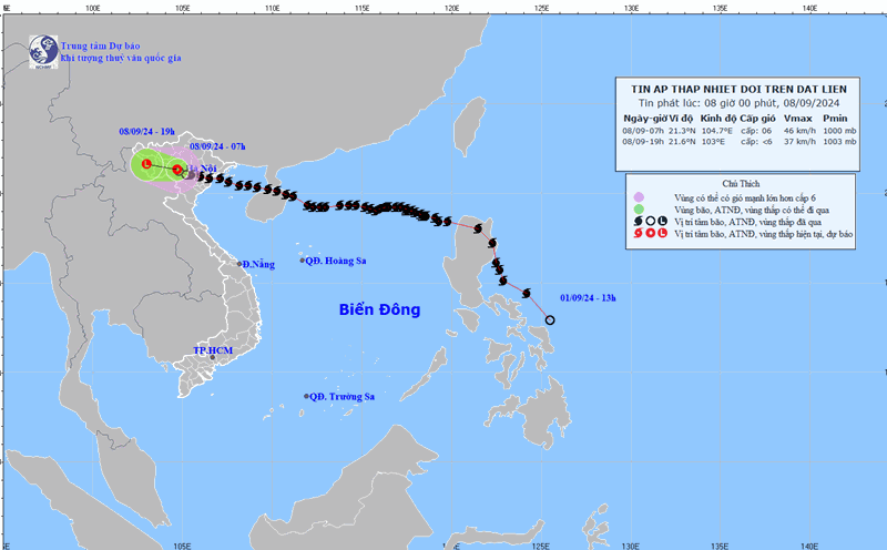
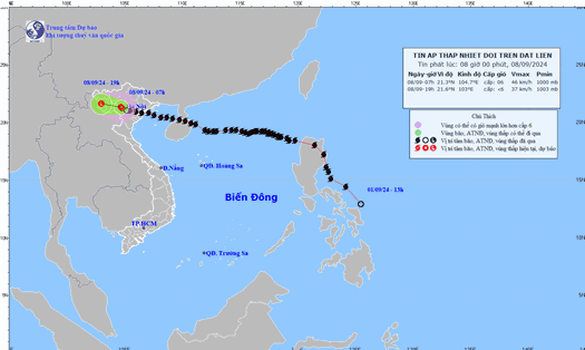
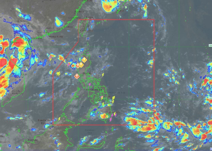
The Philippine Atmospheric, Geophysical and Astronomical Services Administration (PAGASA) said the low pressure area was detected off the northern coast of Luzon, estimated to be 1,155km east-northeast. The low pressure area could develop into a tropical depression. If the tropical depression strengthens into a storm, it will be named "Ferdie".
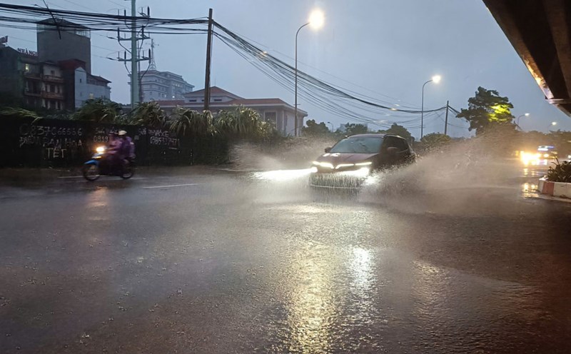
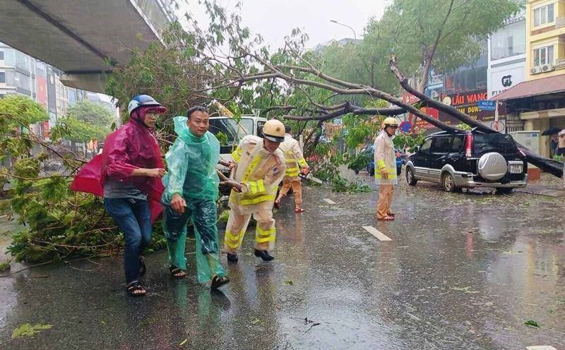
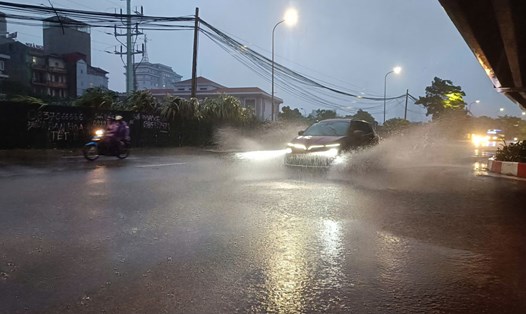
Meanwhile, the southwest monsoon continues to affect parts of Luzon, including Ilocos, Apayao and Abra regions, bringing occasional rains. The landfall of a low pressure system will bring overcast skies, scattered rains and thunderstorms in the Cagayan Valley, Central Luzon and the rest of the Cordillera region.
PAGASA said the same weather system will also affect Metro Manila, CALABARZON (Cavite, Laguna, Batangas, Rizal and Quezon), MIMAROPA (Mindoro, Marinduque, Romblon and Palawan) and the Bicol Region, with the possibility of rain showers. In other parts of the Philippines, skies will be partly cloudy or partly cloudy with scattered showers and thunderstorms.
Previously, PASAGA had predicted that there would be two more tropical storms near the East Sea in September, after Super Typhoon Yagi made landfall. One of them is the aforementioned strengthening low pressure area.
In addition, PAGASA weather forecaster Ana Clauren-Jorda said there is another disturbance that could strengthen into a low pressure area in the coming days, although it is still far from the Philippine forecast area (PAR).
PAGASA predicts that the storm will move northwest. Although it is not expected to make landfall, experts say a second storm could occur this September, which could intensify the southwest monsoon. If the second tropical storm forms, it will be named Gener.
Given the volatile weather conditions in the East Sea in September, tourists who want to travel to the Philippines or neighboring countries with islands during this time should pay attention. They should proactively monitor the weather and prepare plans to change their itinerary in case of bad weather.