According to the National Center for Hydro-Meteorological Forecasting, at 7:00 a.m. on September 8, the center of the tropical depression was at about 21.3 degrees North latitude; 104.7 degrees East longitude, on land in the Northwest region.
The strongest wind near the center of the tropical depression is level 6 (39-49km/h), gusting to level 7, moving west at a speed of 10-15km/h.
Forecast for the next 12 hours, the tropical depression will continue to affect the Northwest region.
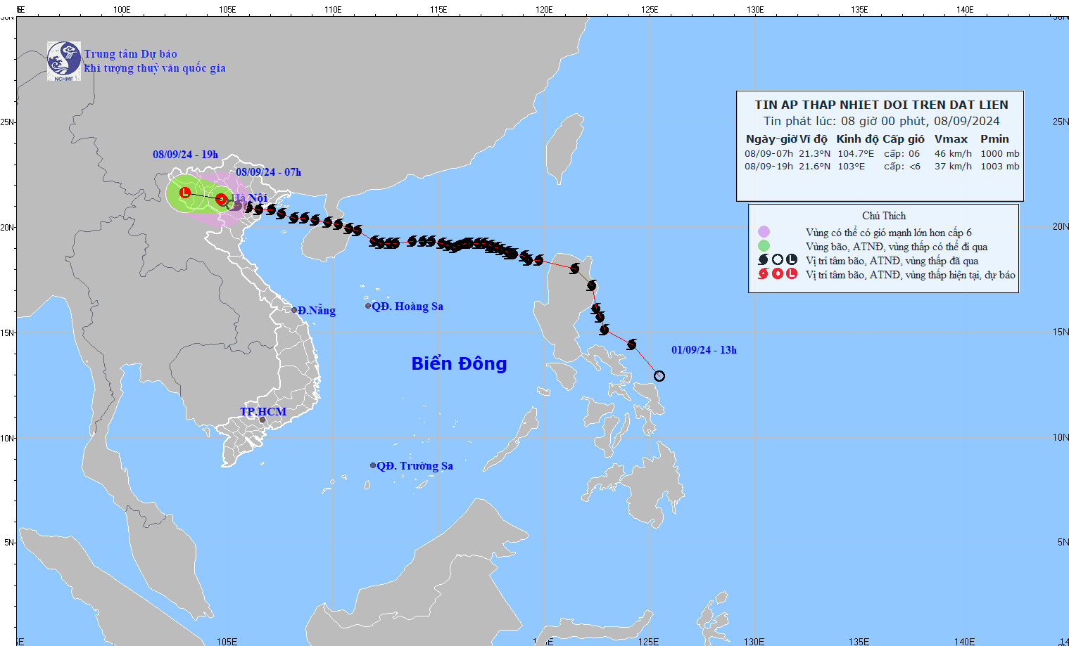
Accordingly, by 7pm on September 8, the tropical depression will move west-northwest at a speed of 10-15km/h and gradually weaken into a low pressure area. The wind intensity is lower than level 6, the dangerous area is north of latitude 20.0N and west of longitude 107.5E.
The western area of the Gulf of Tonkin and the Northern region are affected by level 3 natural disaster risks.
Forecast of the impact of the tropical depression on the sea, the sea area of Bac Bo Gulf (including Bach Long Vy island district, Co To) today (September 8) will have strong winds of level 6, sometimes level 7, gusting to level 8; rough seas. Waves are 2-3m high. From the afternoon of September 8, the waves will gradually decrease.
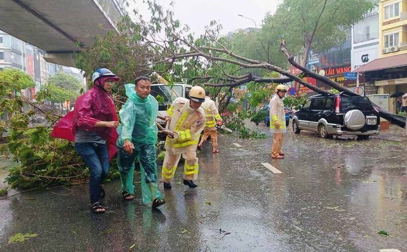
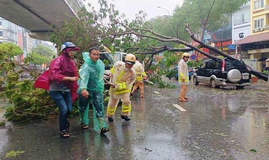
On land, inland areas of the North have strong winds of level 6, gusting to level 7.
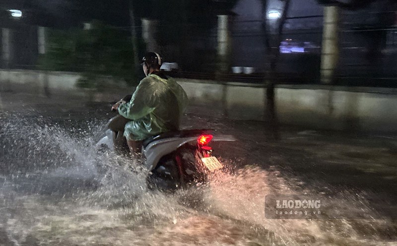
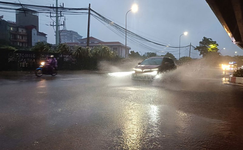
In the Northeast and Thanh Hoa, from the morning of September 8 to the morning of September 9, there will be moderate rain, locally heavy rain and thunderstorms with rainfall ranging from 20-50mm, over 100mm in some places; in mountainous areas, there will be heavy rain, locally very heavy rain with rainfall ranging from 60-120mm, over 250mm in some places.
In the Northwest, from the morning of September 8 to the morning of September 9, there will be heavy to very heavy rain with common rainfall of 100-200mm, locally over 400mm.
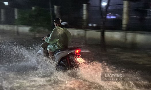
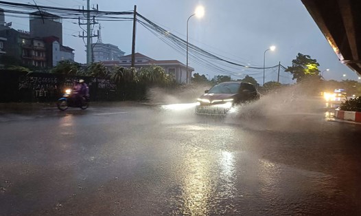
Although the storm has weakened into a low pressure area, people and tourists visiting the Northern and Northwestern regions should be cautious when going out, follow the instructions and recommendations of local authorities. Don't forget to bring umbrellas and raincoats to use in case of bad weather.