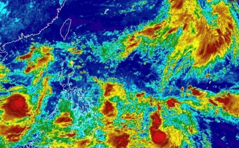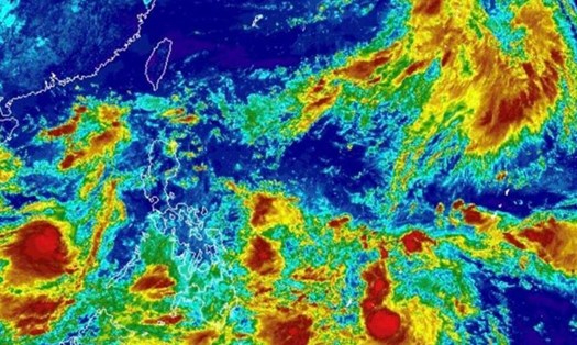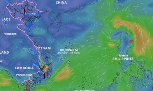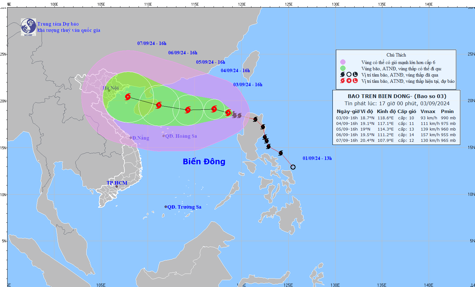
According to the National Center for Hydro-Meteorological Forecasting, at 4:00 p.m. on September 3, the center of storm Yagi - storm number 3 of the 2024 storm season - was located at about 18.7 degrees North latitude; 118.6 degrees East longitude, in the eastern sea of the North East Sea. The strongest wind near the storm center was level 10 (89-102 km/h), gusting to level 12, moving in the West Northwest direction, about 15 km/h.
It is forecasted that from September 4 to September 6, the storm will head towards the sea east of Hainan Island (China). From the next 72 to 120 hours, the storm will move mainly in the West-Northwest direction, traveling 10-15km per hour, with little change in intensity, then gradually decreasing.
The eastern sea area of the North East Sea has strong winds of level 8-9, the area near the eye of the storm has winds of level 10-11, gusting to level 13; the sea is very rough. From the night of September 4-6, storm No. 3 can reach very strong storm level in the northern sea area of the North East Sea, strong winds can reach level 14, gusting to level 17 near the eye of the storm.
In the next 24 hours, the eastern sea of the North East Sea will have waves 2-4m high, and 3-5m near the storm center. From the night of September 4-6, they may gradually increase to 7-9m. The sea will be rough. Ships operating in the above-mentioned dangerous areas are likely to be affected by strong winds and large waves.
In response to information that the storm is forecast to be very strong, Prime Minister Pham Minh Chinh has just signed and issued Official Dispatch No. 86/CD-TTg dated September 3, 2024, directing ministries, branches and localities to urgently deploy response to storm No. 3 in 2024.
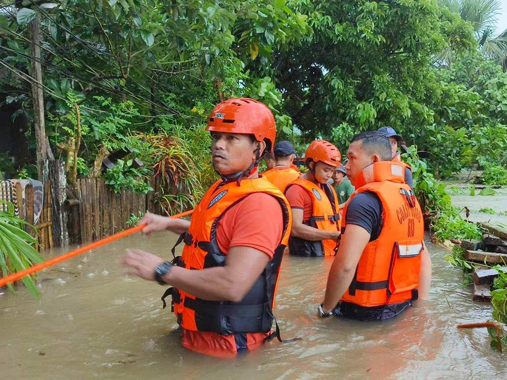
Ministries, sectors and localities are required to proactively respond to storms and floods due to the impact of storms on activities at sea, on islands, in coastal areas and on land.
Accordingly, the localities of Quang Ninh, Hai Phong, Thai Binh, Nam Dinh, Ninh Binh, Thanh Hoa, Nghe An, Ha Tinh, Quang Binh, Quang Tri, Thua Thien Hue, Da Nang, Quang Nam, Quang Ngai, Lang Son, Cao Bang, Bac Kan, Thai Nguyen, Ha Giang, Lao Cai, Yen Bai, Tuyen Quang, Phu Tho, and Hoa Binh are required to proactively provide timely information, direct, and guide people to respond to storms and floods based on the actual situation and the potential impact of storms and floods in the locality.
In particular, organize inspection, counting, proactively inform and guide vehicles and boats (including fishing boats, transport ships, and tourist boats) still operating at sea to know, not to enter or exit dangerous areas or to return to safe shelters; take measures to ensure safety for boats at anchorage areas.
Review and implement measures to ensure safety for tourism, aquaculture and fishing activities at sea, estuaries and along the coast; resolutely evacuate people on cages and aquaculture huts to safe places before the storm directly affects them.
At the same time, based on specific situations, proactively decide on sea bans for fishing vessels, transport vessels, and tourist vessels.
Faced with this situation, residents and tourists in the above localities need to comply with recommendations and instructions from authorities, proactively monitor weather forecasts and consider adjusting travel schedules and activities to ensure safety and limit damage to people and property.
Passengers with flights scheduled from September 7 to September 8 should proactively monitor announcements from airlines, as the weather may have strong winds and heavy rains that could affect flight operations.