The Philippine Atmospheric, Geophysical and Astronomical Services Administration (PAGASA) said that from now until September 9, the Philippines is likely to prepare for two new storms after super typhoon Yagi .
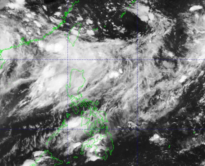
Accordingly, a low pressure area may form in the East of Luzon Island and is expected to move north, entering the Philippines to the Northeast of the country, and will be named Ferdie if it develops into a tropical storm.
A second low pressure area is expected to form southeast of Guam, move west and enter the Philippine area of responsibility as a storm, possibly strengthening into a tropical storm and named Gener.
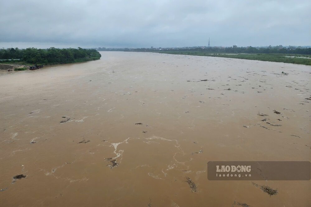
Meanwhile, the people of the Philippines are still recovering from the consequences of Typhoon Yagi. Super Typhoon Yagi is currently recorded as the world's second strongest tropical cyclone in 2024, second only to Category 5 Hurricane Beryl in the Atlantic.
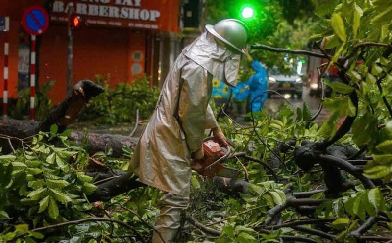
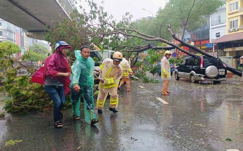
After sweeping through the Philippines and killing at least 20 people, Yagi doubled in strength and made landfall in Wenchang, Hainan, China on September 6. On September 7, the storm made landfall in Vietnam and gradually weakened.
PAGASA predicts about 13 to 18 tropical storms to hit the Philippines in 2024.
According to CNN , the intensity of hurricanes has increased significantly in recent decades. Scientists say climate change is causing storms to become stronger and faster. This unusual trend is largely due to rising ocean temperatures, which fuel more intense hurricanes, cyclones, and tropical storms.
“Global warming caused by humans burning fossil fuels is ushering in a new era of bigger, deadlier storms,” warned Ben Clarke, a researcher at the Grantham Research Institute on Climate Change and the Environment at Imperial College London.
Before Yagi, Ben Clarke published a study on Typhoon Gaemi in August 2024 when it swept through the Philippines, Taiwan (China) and eastern China in July 2024.
Research shows that the storm, which killed more than 100 people, was made more intense by global warming, a result of the burning of fossil fuels.
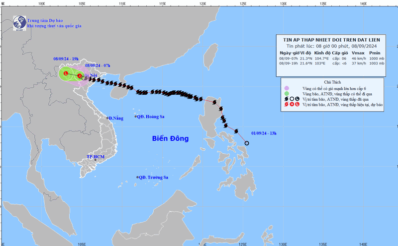
According to the National Center for Hydro-Meteorological Forecasting, from now until October 2024, there is a possibility of about 5-7 storms/tropical depressions appearing in the East Sea, of which about 1-3 will make landfall. The average number of storms/tropical depressions in the East Sea during this period is from 6-7, of which about 3 will make landfall in Vietnam.
From November 2024 to January 2025, there is a possibility of about 3-4 storms/tropical depressions appearing in the East Sea; of which about 1-2 will make landfall. The average number of storms/tropical depressions in the East Sea during this period is 3-4, about 1 of which is likely to make landfall in Vietnam.