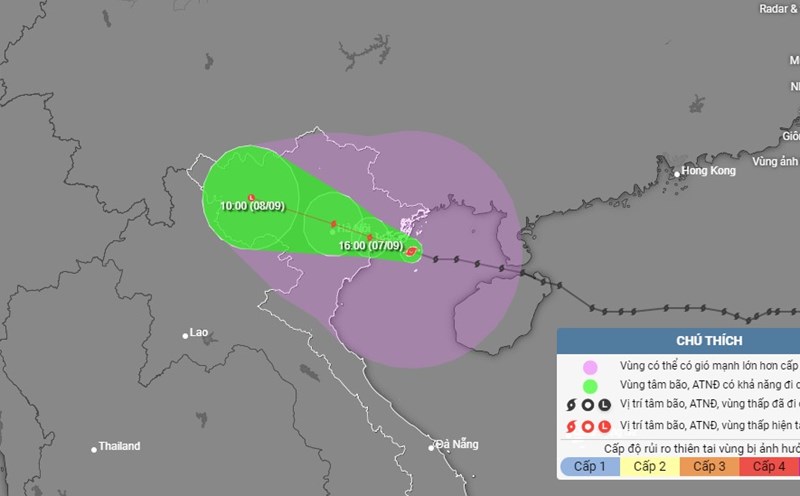
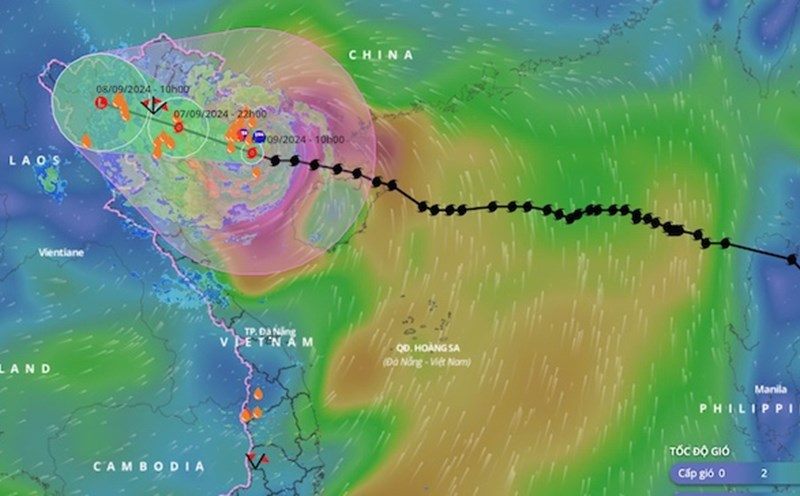
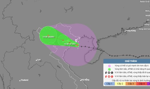
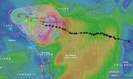
According to the quick news about storm No. 3 released by the National Center for Hydro-Meteorological Forecasting at 3:00 p.m. on September 7, the center of the storm is located at about 20.9 degrees North latitude; 106.8 degrees East longitude, on the coastal area of Quang Ninh - Hai Phong.
The strongest wind is level 12-13 (118-149km/h), gusting to level 16. It is forecasted that in the next 3 hours, the storm will move in the West Northwest direction, at a speed of about 15-20km/h.
Due to the influence of storm No. 3, the Northeast region has had heavy rain, locally very heavy rain such as: Cua Ong (Quang Ninh) 113mm, Cam Pha (Quang Ninh) 110mm, Cat Ba (Hai Phong) 86mm...
According to the meteorological agency, in the past 18 hours (from 8:00 p.m. on September 6 to 2:00 p.m. on September 7), the Northern provinces and Thanh Hoa had moderate to heavy rain, such as: Cat Ba 215mm (Hai Phong); Co To 170.4mm (Quang Ninh); Mau Son 124mm (Lang Son); Tay Yen Tu 114.4mm (Bac Giang); Cao Ram 83mm (Hoa Binh); Mu Cang Chai 82.6mm (Yen Bai); Pu Danh 72.6mm (Son La); Luong Nha 72.2mm (Phu Tho); Phu Le 68.2mm (Thanh Hoa)...
It is forecasted that from the afternoon to tonight, September 7, the Northeast and Thanh Hoa will have heavy to very heavy rain with common rainfall of 100-250mm, locally over 400mm. The Northwest from the afternoon of September 7-9, will have heavy to very heavy rain with common rainfall of 100-300mm, locally over 450mm.
Hanoi is not directly affected by storm No. 3, but from the afternoon and evening of September 7, the Hanoi area may have strong winds of level 6-7, gusting to level 9-10.
It is forecasted that from 3-7pm on September 7, Hanoi will have strong winds of level 6, gusting to level 9-10, with the possibility of heavy rain, with forecasted rainfall of about 150-350mm.
The meteorological agency said the time frame for the heaviest rain and strong winds due to storm No. 3 in Hanoi is from 6pm on September 7 to 1am on September 8.

Rainfall forecast in the districts: Ba Dinh, Hoan Kiem, Hai Ba Trung, Dong Da, Long Bien, Tay Ho, Cau Giay, Hoang Mai, Thanh Xuan, Ha Dong, Bac Tu Liem, Nam Tu Liem and the districts: Gia Lam, Hoai Duc, Dan Phuong, Thanh Tri, Thuong Tin, Thanh Oai, Thach That, Quoc Oai, Dong Anh, Soc Son, Me Linh from 200 - 300mm, some places over 400mm.
In Son Tay town alone and the districts of Phuc Tho, Chuong My, Ba Vi, My Duc, Ung Hoa, Phu Xuyen, rainfall ranges from 150 - 250mm, with some places over 350mm.
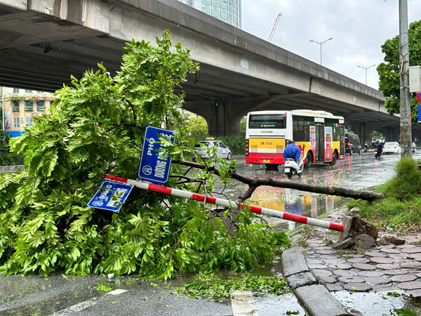
This is a very dangerous time, with the potential risk of falling trees, flying advertising roofs, damage to houses, traffic works and infrastructure.
Residents and tourists need to constantly update weather forecast information to proactively respond promptly.