According to the National Center for Hydro-Meteorological Forecasting, at 1:00 a.m. on October 23, the center of the tropical depression weakened from storm No. 12 was at about 16.3 degrees north latitude - 109 degrees east longitude, in the sea from southern Quang Tri to Quang Ngai, about 80 km east-northeast of Da Nang city. The strongest wind near the center of the tropical depression is level 6 (39-49 km/h), gusting to level 8. The tropical depression is moving southwest at a speed of 10-15 km/h.
This morning, October 23, the tropical depression is forecast to make landfall.
It is forecasted that in the next 12 hours, the tropical depression will move southwest at a speed of 10-15 km/h and gradually weaken into a low pressure area.
At 1:00 p.m. on October 23, the center of the low pressure area was at about 15.4 degrees north latitude - 108.0 degrees east longitude, in the mainland area from Da Nang city to Quang Ngai. Wind speed decreases below level 6.
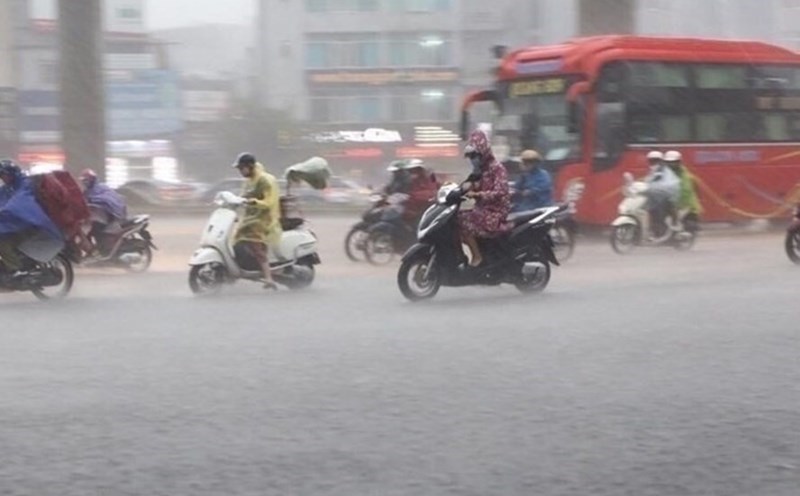
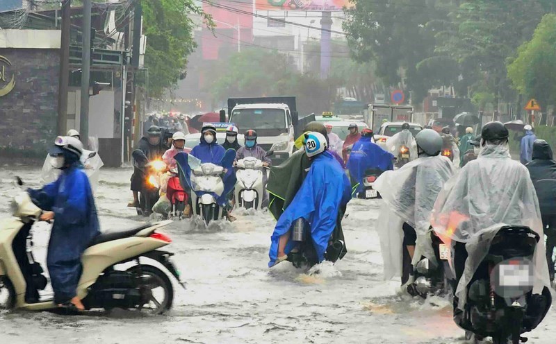
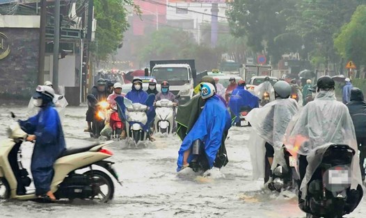
On land, due to the influence of the tropical depression circulation and cold air combined with winter wind disturbances and terrain effects, from the night of October 22 to the night of October 24, the area from Ha Tinh to Quang Ngai will have heavy rain and thunderstorms, with common rainfall of 100 - 200 mm, some places over 300 mm.
In particular, the area from southern Quang Tri to Da Nang city will have heavy to very heavy rain, with common rainfall of 200-400 mm, locally over 700 mm. Warning of heavy rain over 150 mm/3 hours in coastal communes and wards from southern Quang Tri to Da Nang city.
Heavy rain in the Central region is likely to last until the end of October 2025. There is a high risk of flash floods and landslides in mountainous areas, flooding in low-lying areas and urban areas.
Localities need to pay attention to safe operation of hydroelectric reservoirs and irrigation before, during and after the storm; prepare response plans for flood scenarios on rivers from southern Quang Tri to Da Nang that are likely to reach alert level 2-3, some places above alert level 3. The risk level of natural disasters due to floods and inundation is level 2-3.
At sea, due to the combined influence of cold air, the sea area from Quang Tri to Quang Ngai (including Con Co special area, Cu Lao Cham island and Ly Son special area) has strong winds of level 6, gusts of level 8; waves 2-4 m high, rough seas. The coastal areas of the provinces from southern Quang Tri to Da Nang city will have water rising due to strong winds of 0.3-0.6 m high.
Warning coastal areas, river mouths from southern Quang Tri to Da Nang city need to be on guard against large waves combined with high tides and rising water due to strong winds causing flooding in low-lying areas, waves overflowing coastal traffic routes, riverside and coastal erosion. All ships and aquaculture areas in the danger zone are likely to be affected by thunderstorms, whirlwinds, strong winds, large waves and rising sea levels.