Latest update from the National Center for Hydro-Meteorological Forecasting, at 4:00 a.m. on September 8, the center of the tropical depression was at about 21.2 degrees north latitude; 104.8 degrees east longitude, on land in the Northwest region.
The strongest wind near the center of the tropical depression is level 6 (39-49km/h), gusting to level 7, moving west at a speed of 10-15km/h.
It is forecasted that in the next 24 hours , the tropical depression will move west-northwest at a speed of about 15km/h and gradually weaken into a low pressure area. At 4:00 a.m. on September 9, the center of the low pressure area will be at about 21.8 degrees north latitude - 101.5 degrees east longitude; on land in the Upper Laos region. Wind strength will decrease to below level 6.
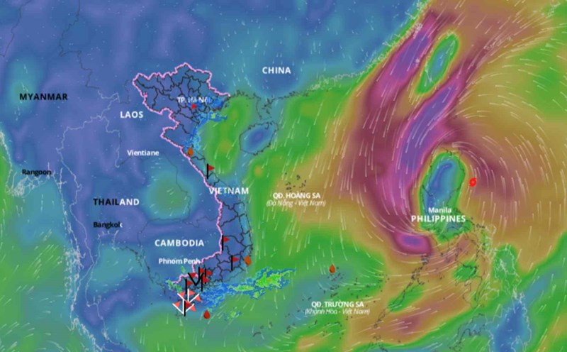
Regarding the impact of the tropical depression weakened from storm No. 3, at sea , the Gulf of Tonkin (including Bach Long Vi and Co To island districts) today (September 8) still has strong winds of level 6, sometimes level 7, gusting to level 8; rough seas. The Gulf of Tonkin (including Bach Long Vi and Co To island districts) has waves 2 - 3m high. From the afternoon of September 8, the waves gradually decreased.
On land , inland areas of the North, there will be strong winds of level 6, gusting to level 7. In the Northeast and Thanh Hoa from the morning of September 8 to the morning of September 9, there will be moderate rain, locally heavy rain and thunderstorms with rainfall ranging from 20-50mm, with some places over 100mm; in mountainous areas, there will be heavy rain, locally very heavy rain with rainfall ranging from 50-100mm, with some places over 200mm.
In the Northwest region, from the morning of September 8 to the morning of September 9, there will be heavy to very heavy rain with common rainfall of 100-200mm, locally over 350mm.
Heavy rain is likely to cause flooding in low-lying areas; flash floods on small rivers and streams, landslides on steep slopes.