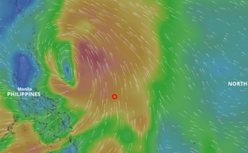
According to the National Center for Hydro-Meteorological Forecasting, at 7:00 a.m. on July 17, the center of the tropical depression was at about 15 degrees north latitude; 127.4 degrees east longitude, in the sea east of the Philippines. The strongest wind near the center of the tropical depression is level 7 (50 - 61km/h), gusting to level 9. The tropical depression is moving west-northwest at a speed of about 20km/h.
It is forecasted that in the next 24 hours, the tropical depression is likely to strengthen into a storm and continue to move west-northwest at a speed of 15 - 20km/h.
At 7:00 a.m. on July 18, the center of the storm was at about 16.9 degrees north latitude; 123.9 degrees east longitude, in the sea east of Luzon Island (Philippines). The strongest wind near the storm center is level 8 - 9, gusting to level 11.
It is forecasted that in the next 48 hours, the storm will continue to move west-northwest at a speed of 20 - 25km/h.
At 7:00 a.m. on July 19, the center of the storm was at about 18.6 degrees north latitude; 119.4 degrees east longitude, in the eastern sea of the northern East Sea. The strongest wind near the storm center is level 10, gusting to level 12.
The dangerous area at sea is determined from latitude 16.5 to 21 degrees north; east of longitude 117 degrees east. The natural disaster risk level is level 3 for the eastern sea area of the northern East Sea.
In the next 48 to 72 hours, the storm will move mainly west-northwest at a speed of about 20km/h and is likely to strengthen.