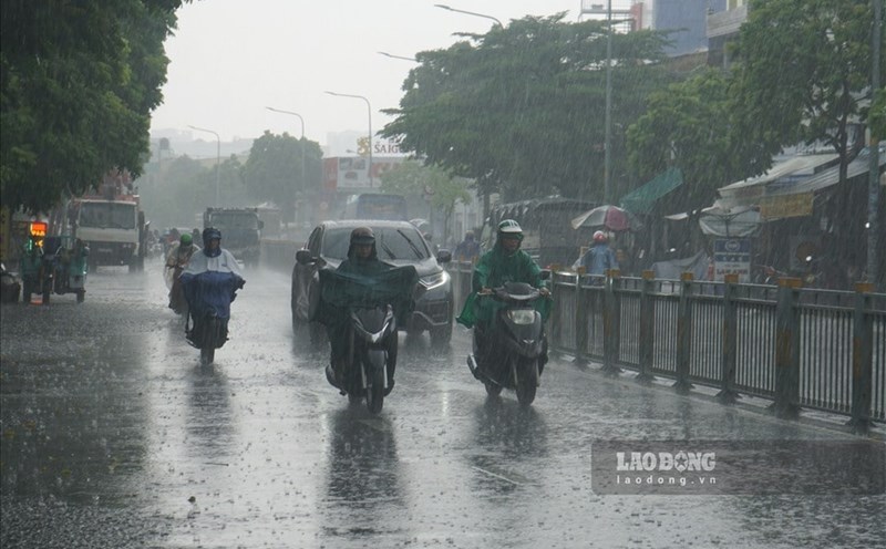
According to the National Center for Hydro-Meteorological Forecasting, last night and early this morning (September 26), in the Northern region and the area from Quang Tri to Da Nang, there were scattered showers and thunderstorms, locally heavy to very heavy rain.
Rainfall from 7pm on July 25 to 8am on July 26 was over 100mm at some monitoring stations such as: Muong Mo 2 station (Lai Chau) 144.6mm, Muong Pon station (Dien Bien) 112mm, Tan Tien station (Lao Cai) 101.4mm, Khe Sang station (Quang Tri) 114.2mm...
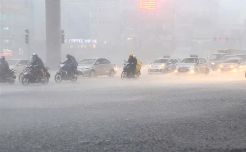
The area from Ha Tinh to Da Nang from July 26 to the night of July 27 is forecast to have moderate rain, heavy rain and thunderstorms, locally very heavy rain with common rainfall of 50 - 100mm, some places over 180mm. Warning of the risk of heavy rain with rainfall of over 70mm within 3 hours.
The meteorological agency forecasts that from July 28, heavy rain in Ha Tinh to Da Nang is likely to gradually decrease.
The Northern region, Thanh Hoa and Nghe An on the day and night of July 26 are forecast to have scattered showers and thunderstorms, locally heavy rain with rainfall of 15 - 30mm, some places over 80mm.
In the Central Highlands in the afternoon and evening of July 26, there will be showers and scattered thunderstorms, locally heavy rain with rainfall of 10 - 30mm, some places over 70mm, concentrated in the afternoon and evening.
During thunderstorms, there is a possibility of tornadoes, lightning, hail and strong gusts of wind. The warning level of natural disaster risk due to heavy rain, tornadoes, lightning, and hail is level 1. Heavy rain can cause flooding in low-lying areas, urban areas and industrial parks; there is a high risk of flash floods on small rivers and streams and landslides on steep slopes.
Real-time warning information for areas at risk of flash floods and landslides is provided online at https://luquetsatlo.nchmf.gov.vn and in separate bulletins.