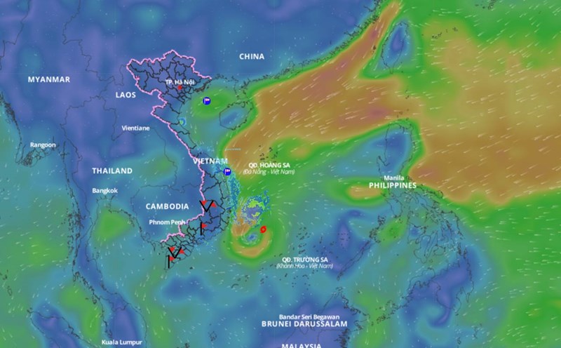
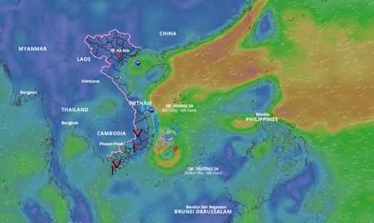
Latest update from the National Center for Hydro-Meteorological Forecasting, at 7:00 a.m. on December 25, the center of storm No. 10 was located at approximately 10.7 degrees north latitude; 110.6 degrees east longitude, in the offshore waters from Khanh Hoa to Binh Thuan. The strongest wind near the center of the storm is level 8 (62 - 74 km/h), gusting to level 10.
It is forecasted that in the next 12 hours, storm No. 10 will move west-southwest at a speed of 10-15km/h and gradually weaken into a tropical depression. At 7:00 p.m. on December 25, the center of the tropical depression will be at about 9.8 degrees north latitude - 109 degrees east longitude; over the sea from Ninh Thuan to Ba Ria-Vung Tau.
The strongest wind near the center of the tropical depression is level 6, gusting to level 8.
It is forecasted that in the next 24 hours, the tropical depression will move west-southwest at a speed of 10-15km/h and weaken into a low pressure area. At 7:00 a.m. on December 26, the center of the low pressure area will be at about 9.6 degrees north latitude - 107.7 degrees east longitude; over the sea from Binh Thuan to Bac Lieu.
Regarding the impact of the storm, the southwestern sea area of the central East Sea, the sea area from Khanh Hoa to Ba Ria-Vung Tau (including Phu Quy island district) has strong winds of level 6 - 7, the area near the storm's center has strong winds of level 8, gusts of level 10, waves 2 - 5m high; rough seas.
Ships operating in dangerous areas are susceptible to storms, whirlwinds, strong winds and large waves.


