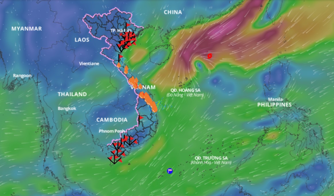
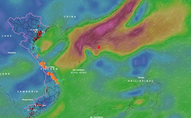
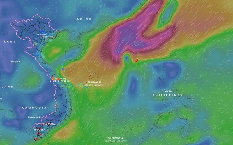
According to the Department of Dyke Management and Natural Disaster Prevention and Control, at 4:00 a.m. on November 20, the location of storm No. 9 was at 18.1N-111.0E; west of the North East Sea area; about 200km northwest of Hoang Sa archipelago; moving west-southwest at about 15-20km/h, continuing to weaken; wind force level 8, gust level 10. Dangerous area from latitude 17.0N-20.5N; longitude 109.5E-116.5E. Level 3 RRTT in the North East Sea area (including the sea area north of Hoang Sa archipelago).
At 4:00 a.m. on November 21, the storm was located at 16.9N-109.1E; in the sea off the Central Central Coast; moving West Southwest, about 10km/h, gradually weakening into a tropical depression (ATND), then a low pressure area; wind speed below level 6. Dangerous area from latitude 16.5N-20.0N; longitude 109.0E-112.5E. Natural disaster risk (RRTT) level 3 in the west of the North East Sea (including the sea northwest of Hoang Sa archipelago).

Also according to the Department of Dyke Management and Natural Disaster Prevention and Control, on the day and night of November 19, the North East Sea area (including the Hoang Sa archipelago) will have winds of level 6-7, the area near the storm's eye will have winds of level 8-10, gusting to level 12. The sea will be very rough, with waves 3-5m high, and the area near the storm's eye will have winds of 5-7m;
The Gulf of Tonkin, the sea area from Quang Tri to Quang Ngai and the western part of the South East Sea (including the sea area west of Truong Sa archipelago) will have northeast winds of level 5-6, gusting to level 7-8, rough seas. During the day and night of November 19, the northern sea area of the North East Sea will have storms and rain.
On November 19, coastal areas from Vung Tau to Ca Mau provinces will experience high tides from 0:00 to 4:00 and 12:00 to 16:00, with high water levels at Vung Tau station ranging from 4.1 to 4.15m, with a risk of flooding in low-lying areas and areas outside the dike.
Regarding the rain situation, from 7:00 p.m. on November 17 to 7:00 p.m. on November 18, the Central region had scattered rain, with average rainfall of 20-40mm. In particular, Thua Thien Hue and Quang Nam provinces had moderate to heavy rain, with average rainfall of 40-60mm. Some stations had larger rainfall such as: Bach Ma Peak (Thua Thien Hue) 293mm; A Luoi (Thua Thien Hue) 119mm; Tra My (Quang Nam) 84mm; Tra Leng (Quang Nam) 64mm.
From 7:00 p.m. on November 18 to 7:00 a.m. on November 19, the Central region had moderate rain, heavy rain, and some places had very heavy rain, with common rainfall from 40-60mm. Some stations had heavier rainfall such as: Huong Linh (Quang Tri) 77mm; Bach Ma Peak (Thua Thien Hue) 214mm; A Luoi (Thua Thien Hue) 103mm; Tak Pat Resettlement Area (Quang Nam) 142mm; Tra Leng (Quang Nam) 127mm; Tra Thanh (Quang Ngai) 129mm.
Regarding the hydrological situation, the water level of the rivers in the Northern region at 7:00 a.m. on November 19 on the Red River at Hanoi station was 1.20 m; the water level of the Thai Binh River at Pha Lai station was 1.09 m. It is forecasted that by 7:00 a.m. on November 20, the water level at Hanoi station is likely to be at 1.00 m; in the next 36 hours, the highest water level at Pha Lai is forecast to be 1.45 m, the lowest is -0.05 m.
The water levels of rivers in the Central region change slowly, fluctuating according to reservoir and tidal regulation.
The water level of the Mekong River upstream in the Southern region changes slowly according to the tide. The water level at 7am on November 19 on the Tien River at Tan Chau was 1.96m; on the Hau River at Chau Doc was 2.10m. It is forecasted that by November 22, the highest water level in Tan Chau will be 2.05m, and in Chau Doc will be 2.20m.


