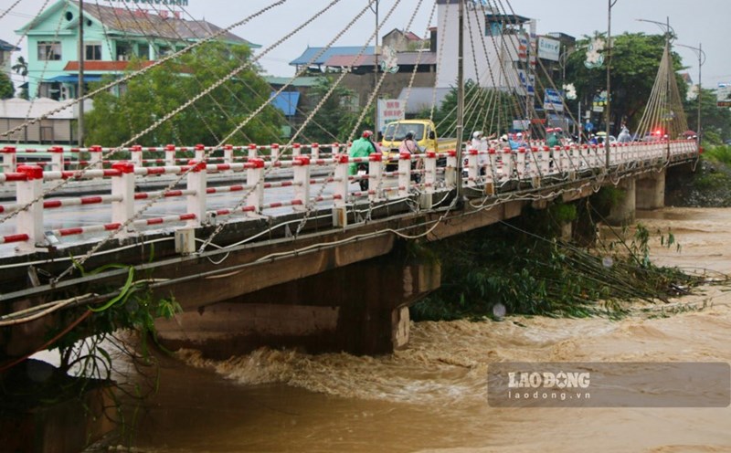
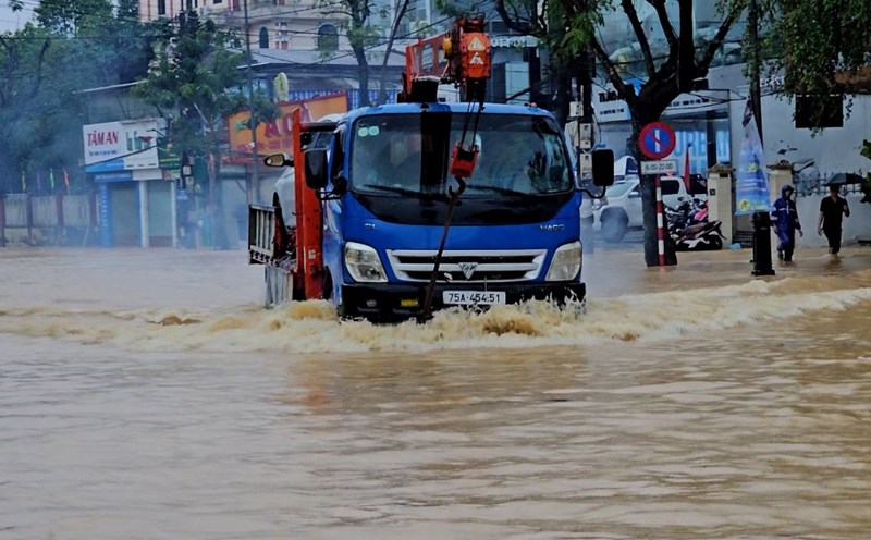
As reported by Lao Dong Newspaper, after the circulation of storm No. 11 in early October, prolonged heavy rain caused the water level of Cau River to rise, many areas in Thai Nguyen were flooded, posing a potential risk of affecting the structure of transport infrastructure.
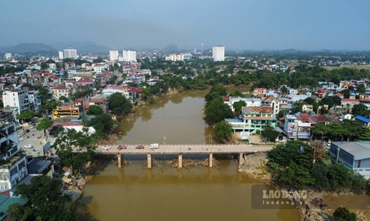
At Gia Bay hydrological station, the water level exceeded alert level by nearly 3m, more than 1m higher than the flood peak in 2024, creating great pressure on Gia Bay bridge.
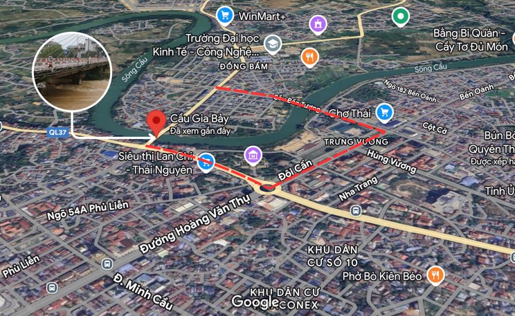
In that situation, the People's Committee of Thai Nguyen province issued document 4402, temporarily prohibiting cars from traveling through Gia Bay bridge from 12:00 on October 19 to inspect and assess the load-bearing capacity, ensuring safety for people and vehicles.
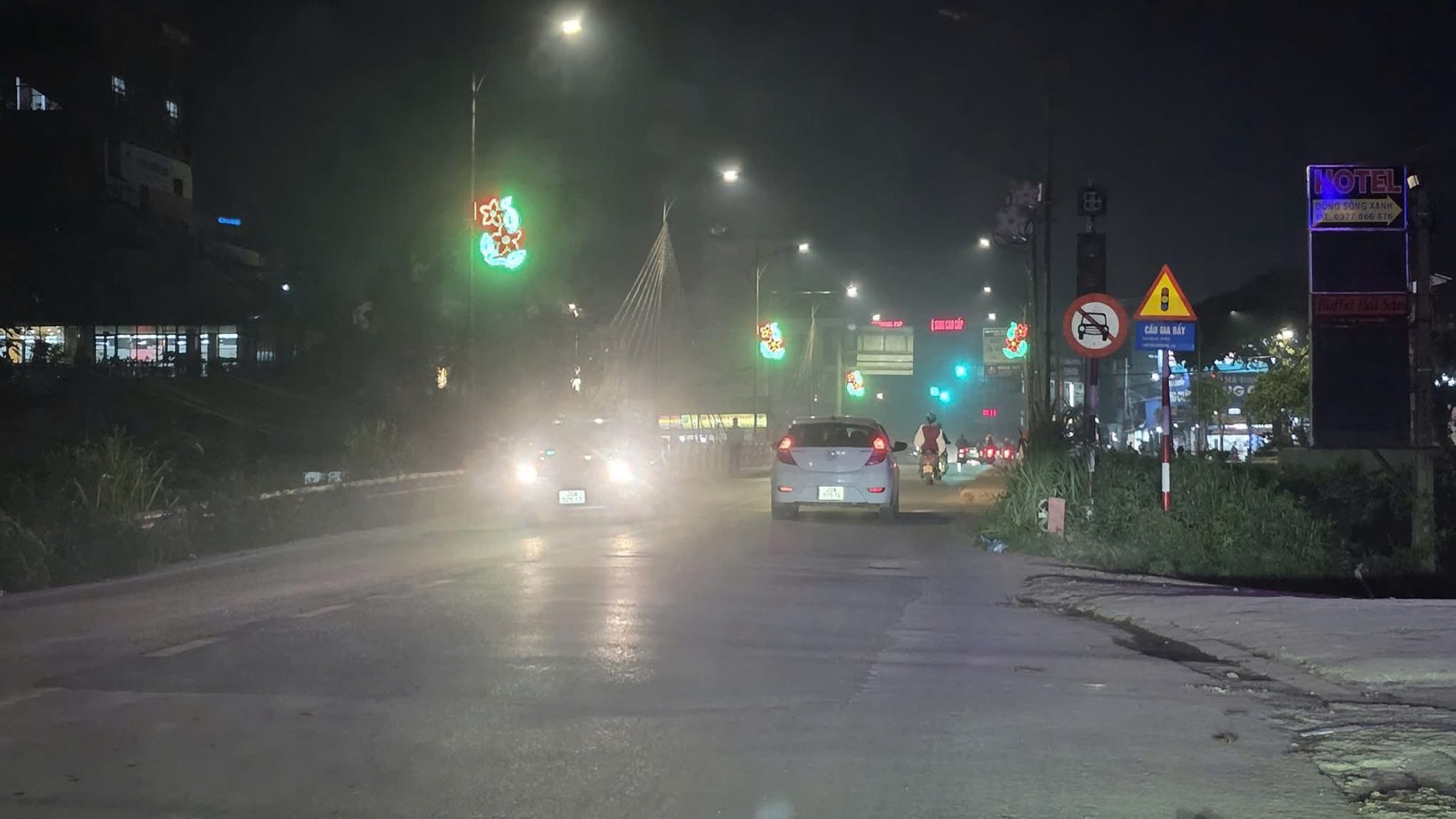
However, according to records even though there are signs prohibiting both ends of the bridge, many cars still carelessly run through, despite the possible risks.
Gia Bay Bridge is currently in the process of quality inspection, people arbitrarily traveling during the ban can cause vibrations, affect the inspection process and pose a potential risk of insecurity.
Authorities recommend that people strictly follow the instructions, do not cross the bridge until officially notified, and proactively travel along alternative routes to ensure safety.
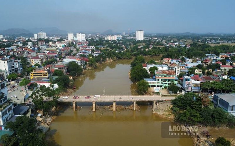
The existing Gia Bay Bridge was built in 1981, spanning the Cau River on National Highway 1B, connecting Thai Nguyen with the northern mountainous provinces.
After more than 40 years of use, the project has shown signs of deterioration, the bridge surface is narrow, the elevation is low, and it is not possible to escape floods.
Previously, the Department of Agriculture and Environment of Thai Nguyen province proposed prioritizing investment in the construction of a new Gia Bay bridge, 165m long and 21m wide, with a total cost of 350 billion VND to ensure traffic safety and promote socio-economic development.