Weather forecast for the next 24-48 hours, the equatorial low pressure trough with an axis through the South will move north to the South Central region. The southwest monsoon is not as strong. Above, the subtropical high pressure will encroach to the West with an axis through the North of the North.
Weather forecast for the next 3-10 days, the low pressure trough will continue to move slowly to the North through the South Central region. From around September 16-17, the activity will gradually strengthen into a tropical convergence zone with an axis passing through the central East Sea connecting with the disturbance area in the eastern sea area from the central to southern East Sea (may gradually strengthen). The southwest monsoon is gradually increasing in intensity. Above, the subtropical high pressure will encroach to the West.
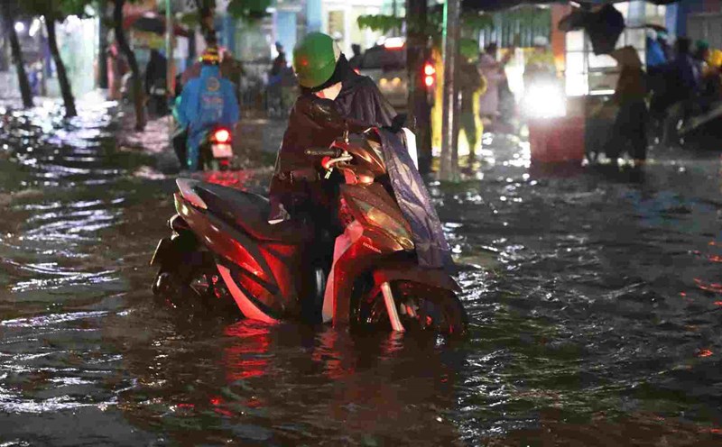
Therefore, the rain will increase again in the Southern region in the next 1-2 days, with rainfall of 15-30 mm, locally heavy rain over 100 mm.
Beware of heavy rain causing localized flooding in low-lying areas and landslides along rivers. Thunderstorms accompanied by dangerous weather phenomena such as tornadoes, hail and strong gusts of wind affect agricultural production, break trees, damage houses, traffic works and infrastructure.