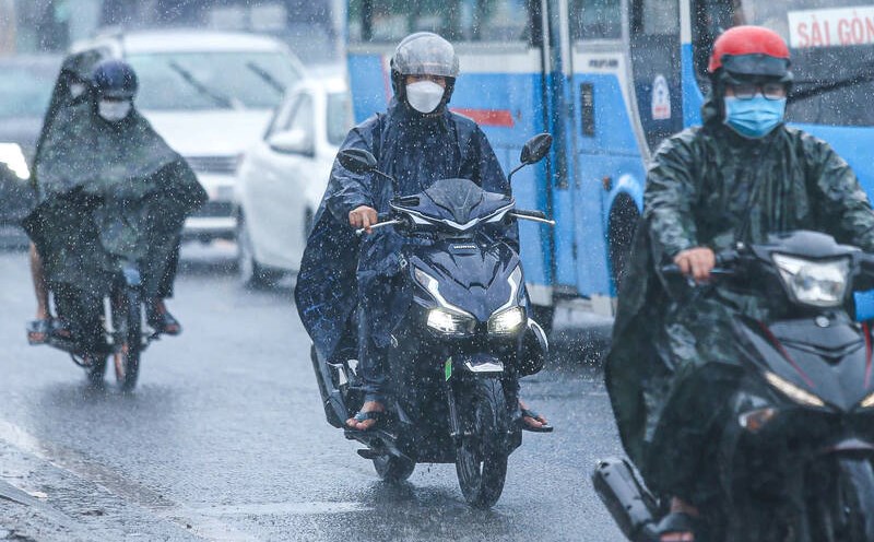
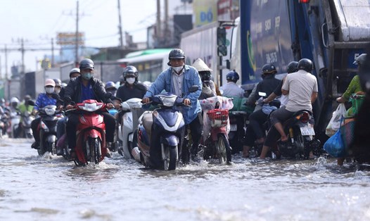
On December 14, Ho Chi Minh City and neighboring provinces and cities will have showers, with some places experiencing heavy rain for a long time.
According to Mr. Le Dinh Quyet - Head of Forecasting Department, Southern Hydrometeorological Station, the main cause of the unseasonal rains in recent days is the continental cold high pressure continuing to strengthen to the South, the equatorial low pressure trough with an axis at about 5-8 degrees North latitude, and disturbances in the high-altitude East wind zone.
Weather forecast for the next 24-48 hours, the continental cold high pressure will continue to strengthen to the South, then stabilize and slowly weaken.
The equatorial low pressure trough with its axis at about 5-8 degrees North latitude tends to move south and gradually weaken, however, the high-altitude wind convergence tends to persist in the next 24 hours.
Above, the subtropical high pressure slowly descends to the South. Northeast winds operate at moderate to strong intensity over the Southeast sea.
In the next 3 days, the cold continental high pressure will continue to weaken, and around December 18-19, it is likely to strengthen weakly again in the North of our country.
Northeast wind in the Southeast sea area is moderate to strong. Above, the subtropical high pressure axis through the North Central region gradually lowers to the South, through the Central - South Central region, weakens and gradually retreats to the East.
Therefore, the weather in the South in the next 1-2 days will have thunderstorms, with the possibility of tornadoes, lightning, and strong gusts of wind.


