On the afternoon of June 4, monitoring satellite cloud images, weather radar images and lightning positioning showed that the thunderstorm area was developing and causing rain with thunderstorms and lightning in District 7, Thu Duc City, Binh Thanh District, Go Vap District, District 12, Hoc Mon District, Cu Chi District (HCMC).
In the next 0-3 hours, thunderstorms will continue to develop, causing showers, accompanied by thunderstorms and lightning in the above districts, then expanding to other neighboring areas.
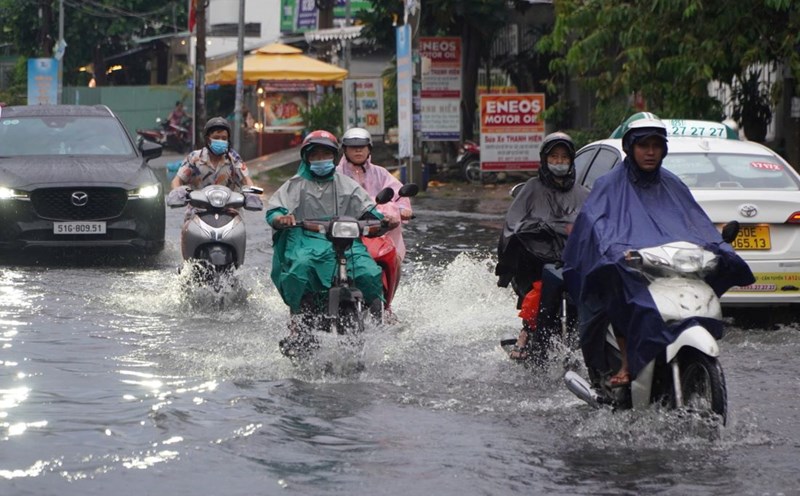
Rainfall is generally from 5-15 mm, in some places over 30 mm. During thunderstorms, beware of tornadoes, hail and strong gusts of wind of about level 5-7 (8-17 m/s), heavy rain causing local flooding.
The thunderstorms are caused by the low pressure trough with an axis through the North Central region. Above, the subtropical high pressure is stable. The southwest monsoon will operate at medium intensity.
Weather forecast for the next 24-48 hours, the low pressure trough with an axis through the North Central region tends to weaken and gradually increase. In the South, the Southwest monsoon has an average intensity. Above, the subtropical high pressure is active again and tends to lift its axis to the North.
Weather forecast for the next 3-10 days, the low pressure trough will have an axis passing through the North Central region. From around June 7, a low pressure trough with an axis at about 25-28 degrees North latitude will form, connecting with the hot low pressure area in the West, which tends to gradually expand to the Southeast, then be compressed, pushed to the South and gradually filled up.
The southwest monsoon will operate at weak to moderate intensity, gradually becoming stronger from around June 7. Around June 10-11, a low pressure trough will form in the East Sea area, on this low pressure trough there is a possibility of a tropical cyclone forming.
Above, the subtropical high pressure will continue to tend to gradually lift its axis to the North and gradually encroach on the circulation to the West; around June 8-9, it will weaken and slowly retreat to the East.
Therefore, the Southern region will continue to have showers and thunderstorms, with the possibility of moderate to heavy rain. During thunderstorms, beware of thunderstorms, tornadoes, hail and strong gusts of wind, as well as heavy rain causing flooding.