Through monitoring on satellite cloud images, weather radar images, and lightning positioning, it shows that thunderstorm clouds are developing, causing showers and accompanied by thunderstorms and lightning in the areas of Tra Vinh, Ben Tre, Kien Giang, and An Giang provinces. , Ba Ria - Vung Tau, Long An, Ho Chi Minh City, Dong Nai, Binh Duong, Tay Ninh, Binh Phuoc...
In the coming hours, thunderstorm clouds will continue to develop and bring showers with thunderstorms and lightning to the above areas. Then thunderclouds tend to expand and spread to other neighboring areas.
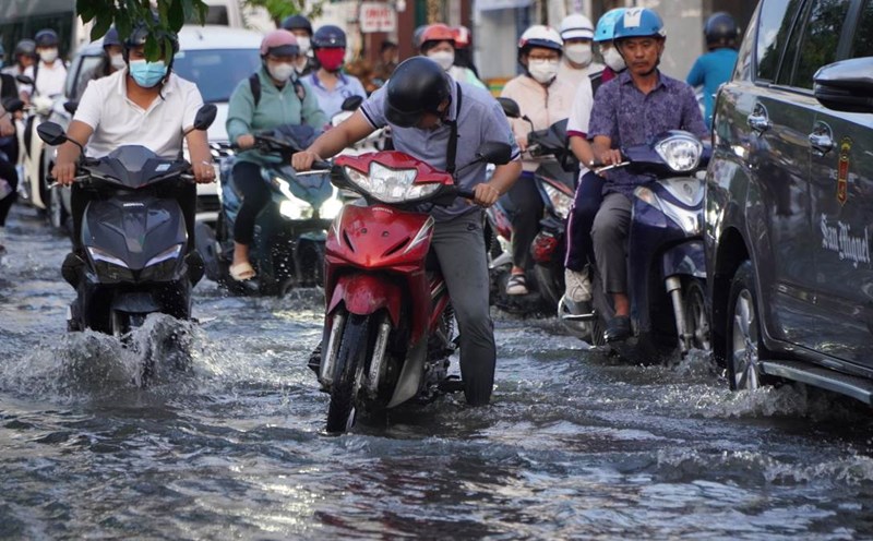
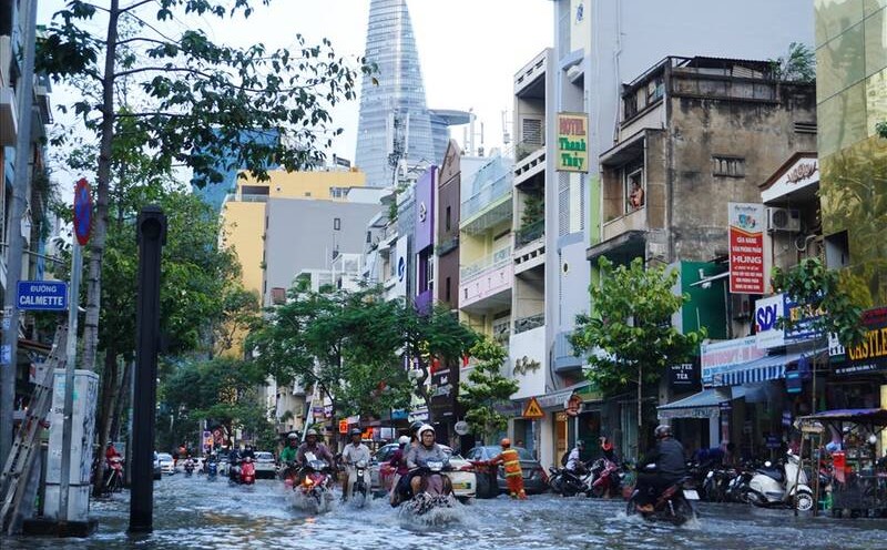
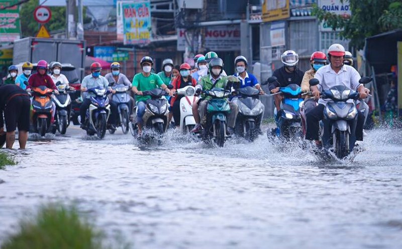
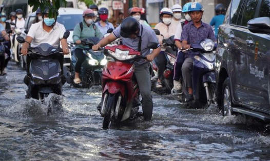
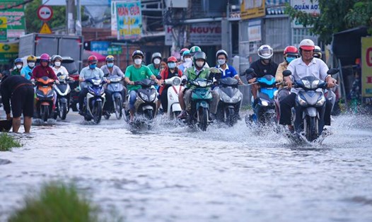
Rainfall is commonly 10-25mm, in some places it is over 30mm. During a thunderstorm, watch out for tornadoes, lightning, hail, and strong winds level 5-8 (8-21m/s). Prevent the risk of flooding in areas with poor drainage capacity.
On the waters of Ho Chi Minh City, the southwest wind has an intensity of level 4-5, by 72:00 it gradually becomes stronger at level 5, sometimes level 6, with gusts of level 7. The sea weather has scattered showers and thunderstorms. During thunderstorms, watch out for tornadoes and strong winds.
From now until August 31, the Southern region will have rain, showers in many places and thunderstorms in some places. Moderate rain, heavy to very heavy rain is likely to appear in some places during the afternoon and night. Morning to noon it's sunny. Highest temperature 29-33 degrees Celsius, lowest 23-26 degrees Celsius.