Weather forecast for the next 24-48 hours, continental cold high pressure is stable after weakening. Above, subtropical high pressure with axis through South - Central Central region is active.
Northeast winds in the Southeast Sea are moderate to strong. The low pressure trough at 4-7 degrees North latitude connects with the low pressure area in the South East Sea, gradually retreating south and weakening.
Around the night of January 4-5, the continental cold high pressure will be weakly strengthened and will be stronger on January 8-9. Above, the subtropical high pressure will be strong over the South and Central Central regions. The Northeast monsoon will be moderate to strong.
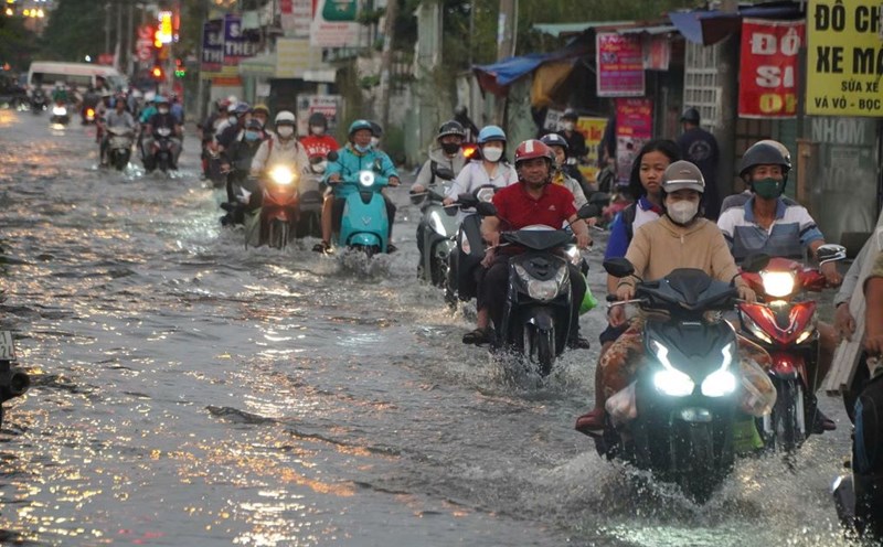
Therefore, the weather in the South on January 3-4 will have unseasonal rain, beware of thunderstorms with the possibility of tornadoes, lightning and strong gusts of wind. Humidity will decrease, air quality will decrease, and the cold weather at night and early morning may affect human health. The lowest temperature will commonly range from 20-24 degrees Celsius.
Water levels at most stations in the downstream of the Saigon - Dong Nai River will drop rapidly in the next 5 days. The highest daily tide peak will be at approximately level I and will remain until the end of January 3.


