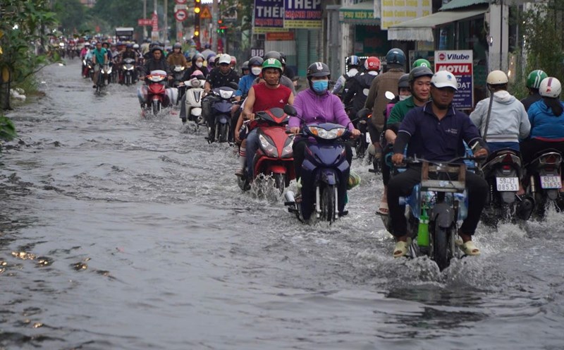
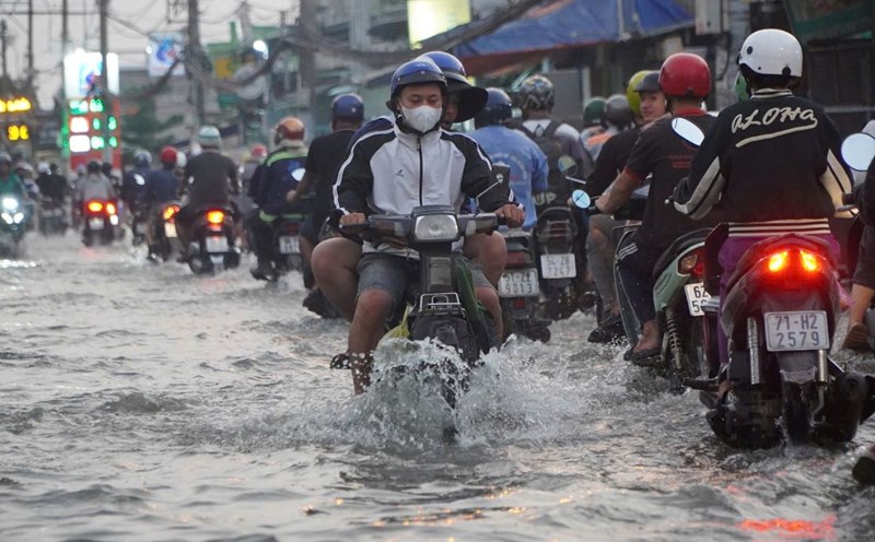
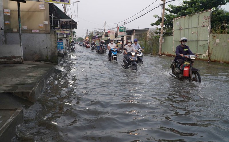
Weather forecast for the next 24-48 hours, the continental cold high pressure will move east and gradually weaken. Above, the subtropical high pressure will continue to operate stably over the Central region.
Northeast wind in the offshore waters of the Southeast region is strong. Above, subtropical high pressure has an axis through the Central region encroaching on the West, then has stable intensity.
From the next 3 days, the continental cold high pressure will strengthen again in the North of our country. Above, the subtropical high pressure with an axis through the Central region will operate stably.
The upper-level easterly wind disturbance operating offshore the South China Sea tends to move towards the mainland of the coastal provinces of the Southeast region from January 4 and weakens.
Therefore, in the coming days, the Southern region will have showers and thunderstorms in the evening. Be careful during thunderstorms because of the possibility of tornadoes, lightning and strong gusts of wind.
Mr. Le Dinh Quyet - Head of Forecasting Department of Southern Hydrometeorological Station said that during the New Year, the cold air is not strong and moves to the East. At the same time, disturbances in the East wind zone form, affecting the Southern provinces. Above, the subtropical highs encroach on the West.
Therefore, the New Year weather in Ho Chi Minh City and neighboring provinces and cities will be cloudy to cloudy, light fog in the early morning, less cloudy and sunny during the day. Temperature 23-25 degrees Celsius, 29-31 degrees Celsius.

