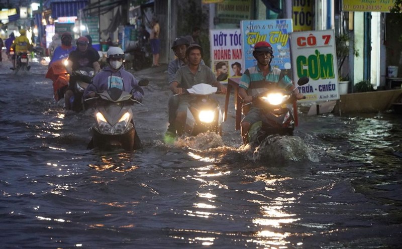
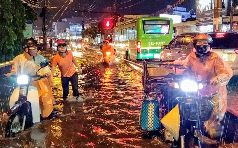
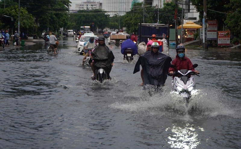
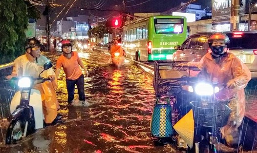
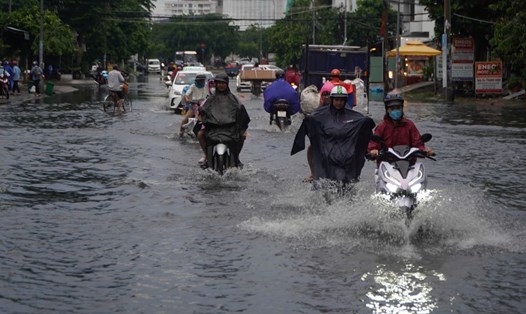
On the morning of September 15, in Ho Chi Minh City and neighboring areas, there were widespread thunderstorms, scattered moderate rain, and heavy rain in some places.
Rainfall in the past 24 hours is as follows: Tan Uyen (Binh Duong) 66.6 mm, An Ninh (Kien Giang) 63.8 mm, Long Phu 2 (Soc Trang) 55 mm, Di An (Binh Duong) 52.8 mm, La Nga (Dong Nai) 51.4 mm, Soc Trang 37 mm...
In the next 48 hours, Ho Chi Minh City and the Southern provinces will have increased rain again, with moderate rain, heavy rain, and locally very heavy rain.
In the next 24-48 hours, the tropical convergence zone with an axis through the Central region will shift towards increasing activity. The southwest monsoon in the Southern region will gradually increase activity.
From 72 hours to the 10th day, the tropical convergence zone passing through the Central region gradually strengthens to the South. The southwest monsoon is active. Above, the subtropical high pressure tends to encroach on the West.
Therefore, from now until September 17, the area is likely to have increased rain again with common rainfall of 40-80 mm, locally over 120 mm (rain concentrated in the afternoon and night).
Ho Chi Minh City sea area has strong southwest wind level 6, gusting to level 7-9. Sea weather has showers and thunderstorms. During thunderstorms, there is a possibility of tornadoes and strong gusts of wind, wave height 2.0-3.5m.