Weather forecast for the next 24 - 48 hours, storm Matmo is likely to enter the East Sea tonight and become storm No. 11. The storm is moving mainly in the West Northwest direction.
The tropical convergence zone with an axis through the South China Sea connecting with storm No. 11 tends to lift its axis to the North. Above, the subtropical high pressure with an axis through the North will encroach on the West. The southwest monsoon will operate at a weak intensity.
Weather forecast for the next 3 - 10 days, storm No. 11 will move in the West Northwest direction towards the Gulf of Tonkin, then by the morning of October 6 it is likely to make landfall in the Northeastern provinces.
The tropical convergence zone with an axis through the South - South of the East Sea connecting with storm No. 11 tends to gradually lift its axis to the North, then weaken and fade.
Around October 7 - 8, there is a possibility of forming a low pressure trough in the southern sea of the East Sea area connecting with a new low-lying area in the eastern Philippines that will gradually strengthen and enter the East Sea.
The southwest monsoon will operate at a weak intensity, around October 4 - 6, the wind intensity will increase slightly, at an average level.
Above, the subtropical high pressure with an axis over the north of the North will encroach to the West, from about October 6 - 7, the southern branch of the subtropical high pressure will lift its axis to the North across the South - South Central region.
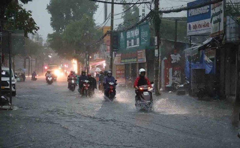
Therefore, in the coming days, the Southern region will be cloudy with scattered showers and thunderstorms, with some places having heavy rain.
Beware of thunderstorms accompanied by dangerous weather phenomena such as tornadoes and strong gusts of wind affecting agricultural production, breaking trees, damaging houses, traffic works, and infrastructure.
Heavy rain causes flooding in urban areas with poor drainage capacity, affecting traffic, flooding in low-lying areas affecting crops.