Weather forecast for the next 24-48 hours, forming a tropical convergence zone with an axis through the central East Sea connecting with storm Matmo in the East of the Philippines.
The storm will move mainly in the West Northwest direction until about the evening of October 3, and may enter the East Sea to become storm No. 11. Above, the subtropical high pressure with an axis through the North is active.
Weather forecast for the next 3-10 days, the tropical convergence zone with an axis through the Central region and the middle of the East Sea connecting with storm No. 11, the tropical convergence zone tends to lift its axis to the North and then gradually weaken. From October 7, the possibility of a new low-pressure area existing in the eastern Philippines will gradually strengthen and move into the East Sea.
The southwest monsoon will operate at a weak intensity, from about October 4-6, the wind intensity will increase slightly, at an average level. Above, the subtropical high pressure with an axis through the North of the North will be active, after the trend of raising the axis to the North and encroaching on the West more strongly around October 5.
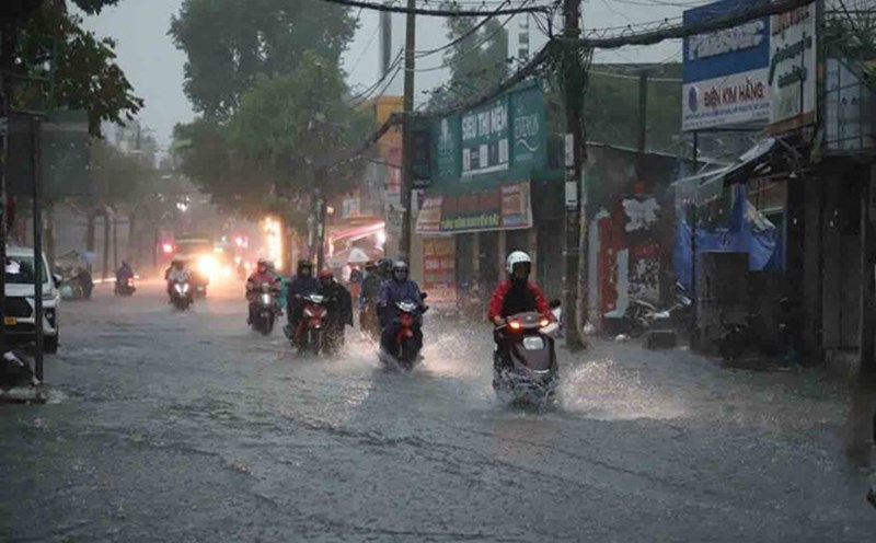
Therefore, around October 4, the Southern region is likely to have increased rain again. Beware of thunderstorms accompanied by dangerous weather phenomena such as tornadoes and strong gusts of wind affecting agricultural production, breaking trees, damaging houses, traffic works, and infrastructure.
In addition, in the next 5 days, the water level at most stations on the Saigon River system will rise rapidly following the high tide on August 15 of the lunar calendar, at a high level. By October 6, the highest daily tide peak at some stations such as Phu An and Nha Be stations was about 1.48-1.53 m, at approximately alert level II. Thu Dau Mot Station is about 1.57-1.62 m at approximately the level of alert level III.