At around 3pm today, at Ha Long International Passenger Port, Bai Chay Ward, there are still some daytime tourist boats that have been given permission to leave the port, taking tourists to visit Ha Long Bay . These tourists are mostly foreigners. According to the schedule, by 7pm tonight at the latest, these tourists will return to shore.
As of this afternoon, Ha Long is still hot and sunny with light winds. According to a representative of the Quang Ninh Waterway Port Authority, at the Ha Long International Passenger Port, on September 5, the unit issued orders for 120 tourist boats, bringing more than 3,000 visitors to visit Ha Long Bay. Of these, 18 are overnight boats, with 440 visitors.
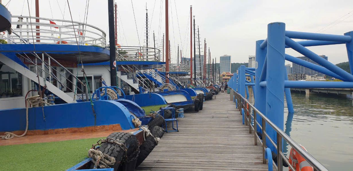
Meanwhile, at Tuan Chau International Passenger Port, Tuan Chau Ward, on September 5, 139 tourist ships were authorized to take tourists to visit Ha Long Bay, with 3,216 passengers. Of these, 40 ships stayed overnight in the bay, with 1,245 passengers.
According to schedule, overnight cruise ships in Ha Long Bay will bring tourists back to shore at noon tomorrow (September 6).
According to the boat owners, the total number of passengers today is lower than on other normal days, possibly because both the boat owners and the tourists are afraid of the storm and have canceled their tours.
Latest update from the National Center for Hydro-Meteorological Forecasting, at 1:00 p.m. on September 5, the center of super typhoon No. 3 was at about 19.2 degrees north latitude; 115.2 degrees east longitude, in the northern sea area of the North East Sea, about 460km east of Hainan Island (China).
The strongest wind near the center of the super typhoon is level 16 (184-201km/h), gusting over level 17, moving west at a speed of about 10km/h.
In the next 24 hours, the super typhoon is forecast to move west-northwest at a speed of 10-15km/h. At 1pm on September 6, the centre of the storm was at approximately 19.9 degrees north latitude - 111.8 degrees east longitude; in the sea northeast of Hainan Island (China), approximately 510km east-southeast of Quang Ninh.
The strongest wind near the storm center is level 16, gusting over level 17.
It is forecasted that in the next 48 hours, the super typhoon will move west-northwest at a speed of 20km/h. At 1pm on September 7, the center of the storm will be at approximately 20.9 degrees north latitude - 107.4 degrees east longitude; in the coastal waters from Quang Ninh to Nam Dinh.
The strongest wind near the storm center is level 12, gusting to level 15.
From around noon on September 6, the eastern sea of the Gulf of Tonkin (including Bach Long Vi island district) will have winds gradually increasing to level 6-7. From the night of September 6, the Gulf of Tonkin (including Bach Long Vi island district, Co To) will have winds gradually increasing to level 8-9, then increasing to level 10-12, near the eye of the storm will have winds of level 13-14, gusting to level 17; the sea will be very rough. Waves will be 2-4m high, then increasing to 3-5m, near the eye of the storm will have winds of 6-8m.
On land, from early morning on September 7, coastal areas from Quang Ninh to Thanh Hoa will have winds gradually increasing to level 6-7, then increasing to level 8-9, near the storm center level 10-12, gusting to level 14; deep inland areas in the Northeast will have strong winds of level 6-8, gusting to level 9-11. Waves will be 2-3m high, then increasing to 2-4m, near the storm center 3-5m.
Coastal areas from Thanh Hoa to Quang Ninh need to be on guard against storm surges of 0.5m (Thanh Hoa) - 1.8m (Quang Ninh) in the afternoon and night of September 7 and storm recedes of 0.5m (Thanh Hoa) - 1m (Quang Ninh) in the morning of September 7.