On September 8, information from the Lao Cai Province Hydrometeorological Station showed that the water level at 10:00 a.m. on the Red River was 78.72m, the flood amplitude was 2.24m (1.28m below alert level 1); the Red River at Bao Ha was 55.04m, the flood amplitude was 3.84m (0.04m above alert level 1); Nhu stream at Van Ban was 88.03m, the flood amplitude was 3.19m (0.47m below alert level 1); Nghia Do stream at Vinh Yen commune rose slowly: 128.6m (0.9m below alert level 1); Chay river at Bao Yen: 77.93m, the water level on Chay river rose slowly.
Floods on rivers and streams continue to rise rapidly. During this flood, the flood peak on the Red River in Lao Cai is at alert level 1, and will exceed alert level 1 on September 9-10.
In Bao Ha (Bao Yen), flood water continues to rise rapidly, the flood peak is likely to reach alert level 2, above alert level 2 tonight, September 8, and in the morning of September 9, the flood amplitude will rise from 4.5 to 5.5m.
At Nhu stream, Van Ban district, the flood peak may reach above alert level 2, flood amplitude from 3.5 - 4.5m; Nghia Do stream is at alert level 1 - alert level 2, flood amplitude from 1.5 - 2.5m, flood peak appears on September 9 - 10.
There is a high risk of flash floods and landslides in areas of the province, especially in Bat Xat, Bao Yen, Van Ban, Bao Thang, Bac Ha districts and Sa Pa town.
Due to the impact of heavy rain, there is a risk of flooding in low-lying areas along rivers, streams, and urban areas, especially in Bao Thang, Bao Yen, Van Ban districts and Lao Cai city.
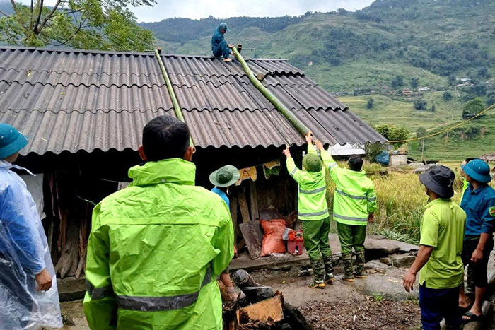
According to the initial preliminary damage statistics due to the impact of storm No. 3 in districts and towns in Lao Cai province, 13 houses had to be urgently evacuated due to flooding and landslides (including 10 houses in Van Ban and 3 houses in Sa Pa town).
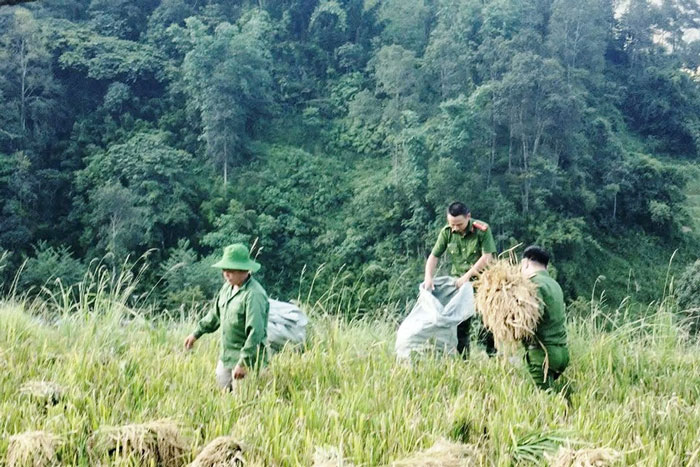
The total affected and damaged agricultural production area is about 133 hectares.
Of which, rice area is 78.55ha (Van Ban district 57.55; Bao Thang district 21); corn area is 51ha (Van Ban 43; Bao Thang 8); cassava area is 1ha (Bao Thang district); aquaculture area is 2.5ha in Son Thuy commune, Van Ban district and 6 buffaloes were swept away by flood water in Son Thuy commune, Van Ban district.


