According to the National Center for Hydro-Meteorological Forecasting, due to the influence of storm No. 1's circulation, Co To has strong winds of level 8, gusts of level 9, sea waves 2.25m high; Cua Ong has strong winds of level 8, gusts of level 9; Mong Cai has strong gusts of level 10.
At 16:00 on July 4, the center of storm No. 1 was at about 20.9 degrees North latitude; 107.9 degrees East longitude, over the sea area of Quang Ninh province.
The strongest wind near the storm center is level 8-9, equivalent to 62-88km/h, gusting to level 11. The storm is moving north at a speed of 10-15km/h.
It is forecasted that by 4:00 AM on July 5th, the storm will move into the southern area of Guangxi province, China and gradually weaken into a tropical depression.
Due to the impact of storm No. 1, by 5 pm on July 4, heavy rain with strong winds appeared in Mong Cai 1, Mong Cai 2 and Mong Cai 3 wards. Many areas recorded heavy rain, wind speeds of about 25km/h, gusts of level 6-7.
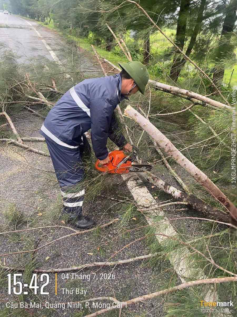
According to initial records, there are currently no major damages. However, on some streets, green trees have fallen. Functional forces in the area have proactively pruned and handled fallen green trees to ensure safety and limit the impact on people's lives.
To proactively respond to the storm's developments, the Civil Defense Command of Mong Cai 1, Mong Cai 2 and Mong Cai 3 wards has urgently deployed forces to the area, inspecting key areas, riverside, coastal areas, areas at risk of flooding and landslides; organizing 24/24 hour duty shifts, ready plans to evacuate people when necessary.
In Mong Cai 1 ward, local authorities have prepared forces of more than 500 people along with vehicles and supplies to respond to natural disaster situations that may occur.
The locality also reviewed 86 weak and unstable houses with 258 people to develop relocation plans when necessary. Some areas at risk of flooding and landslides have been reviewed to proactively plan handling in case of prolonged heavy rain after the storm.


