Increase flood discharge
On the afternoon of November 24, speaking with Lao Dong, Mr. Ho Dac Chuong - Deputy Director of the Department of Agriculture and Rural Development of Binh Dinh province said that currently, the water level of Dinh Binh lake is at elevation +92.67, with a capacity of more than 235 million m3 (reaching 104% of the design capacity); the water flow to the lake is 1,012 m3/s, the discharge flow is about 752 m3/s.
"The Department is proposing to increase the flood discharge flow to 930m3/s to reduce the water level in Dinh Binh Lake to a safe level. For Dong Mit Lake, the spillway gates are currently being lowered by the operating unit, gradually reducing the discharge flow. It is expected that by tonight, the spillway water will reach the downstream," said Mr. Chuong.
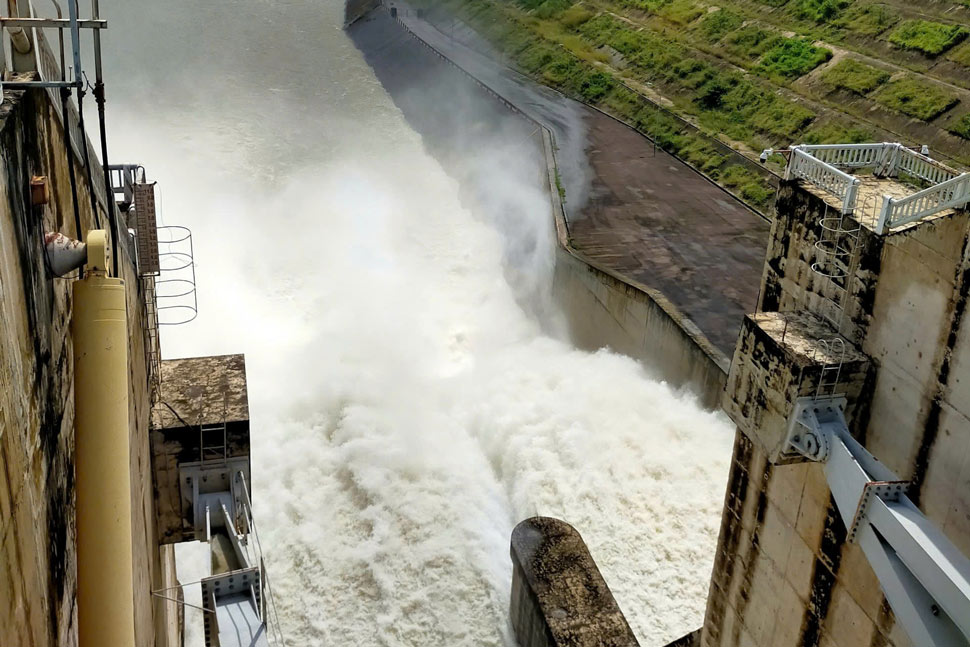
According to Mr. Chuong, before releasing the flood, the Department of Agriculture and Rural Development will send a document requesting Binh Dinh Irrigation Works Exploitation Company Limited to notify localities to grasp information and warn people. From the time the document is issued to the start of the flood discharge, it will take 4 hours, enough time for people in the downstream area to move to a safe location.
According to calculations, with the current river water level and the largest flow through Dinh Binh Lake of 930m3/s, the water level of the Kon River at Binh Nghi is at alarm level 2 (+16.5), at Thanh Hoa is above alarm level 2 (+7.5).
8 landslides, 14 flooded locations
On the afternoon of November 24, Mr. Trinh Xuan Long - Chairman of the People's Committee of An Lao district said that after many heavy rains, some roads in the district were flooded and landslides occurred, but the situation was still under control.
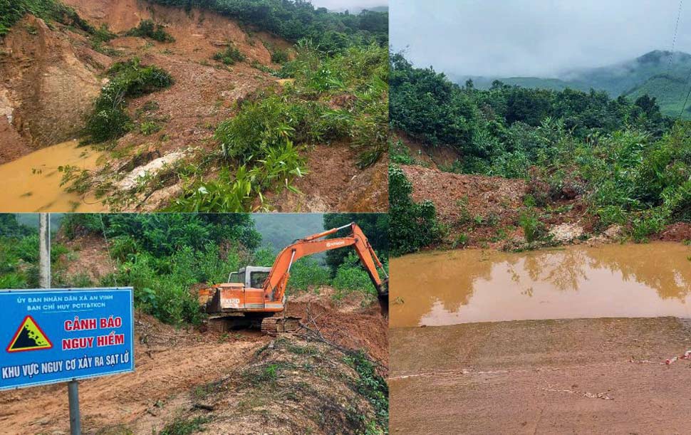
"Currently, 5 households are affected by landslides. The district has evacuated 2 households (8 people) to a safe place, and the remaining households have been supported to overcome the situation on the spot. Currently, the locality has arranged forces to overcome the landslides, and at the same time support and guide people through vulnerable and landslide areas to ensure safety," said Mr. Long.
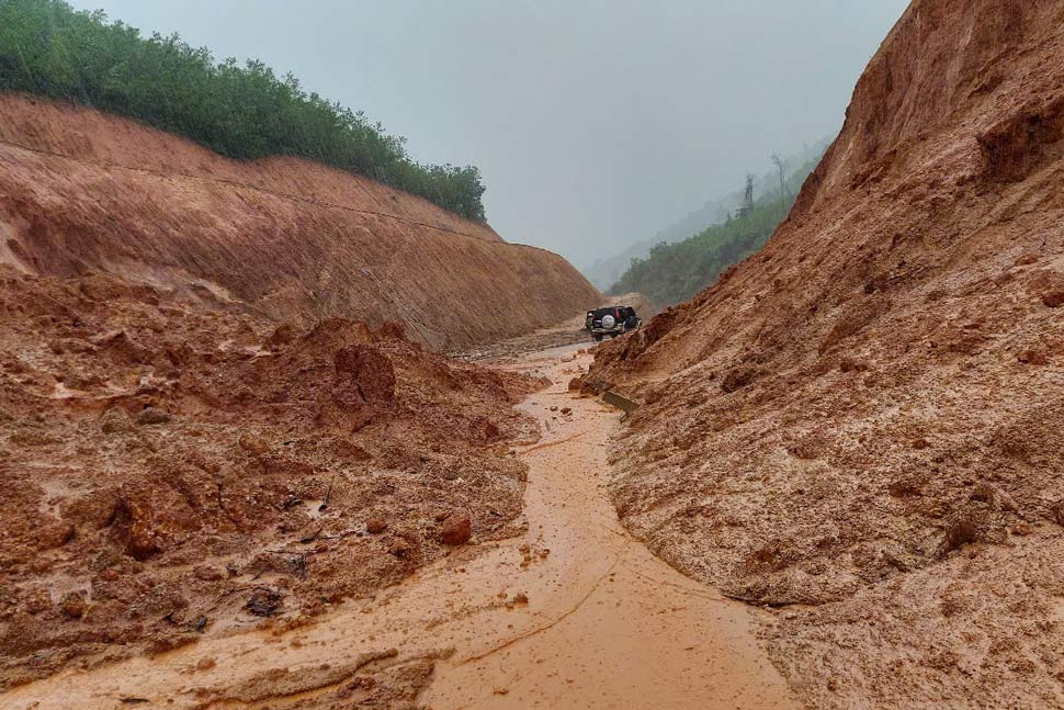
As of 4:00 p.m. on November 24, landslides occurred in 8 areas in An Lao district, with a total volume of landslides of more than 1,500 cubic meters and 14 flooded locations, with a length of about 600 meters.
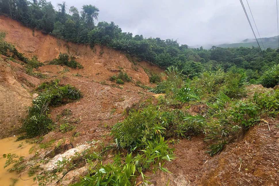
The landslides are located on the route from Village 3 to Village 2 (An Toan commune), the route from Village 2 to Village 5 (An Nghia commune), the route from Village 5 to Village 6 (An Quang commune), the route from Village 4 to La Vuong (An Hung commune), the route from Village 4 to Village 7 (An Vinh commune), the route from Village 1 to Village 2 (An Vinh commune), the route from An Trung to An Vinh and the route from An Quang commune to An Toan, with landslide lengths ranging from 10m to 30m.
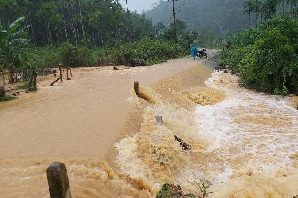
Flooded areas include: Bridge over Trung Hung Economic Zone, spillway bridge from village 3 to village 8 (An Trung commune), spillway bridge from village 7 (An Vinh commune), spillway bridge from Rap village 3 (An Vinh commune), spillway bridge from Xe Ry village 2 (An Toan commune), spillway bridge from village 5 to village 6 (An Quang commune), spillway bridge from village 4 (An Nghia commune), spillway bridge from village 2 (An Nghia commune - 2 locations), 4 connecting roads from DT629 to Tra Cong village residential area and DT629 road.
Confirming with Lao Dong on the afternoon of November 24, leaders of the People's Committees of Tuy Phuoc, Tay Son, Vinh Thanh districts and An Nhon town said that there have been no floods or landslides in the area. Water levels on rivers and streams are still at safe levels. Localities have issued notices on regulating flood discharge from reservoirs for people to be aware and proactive.


