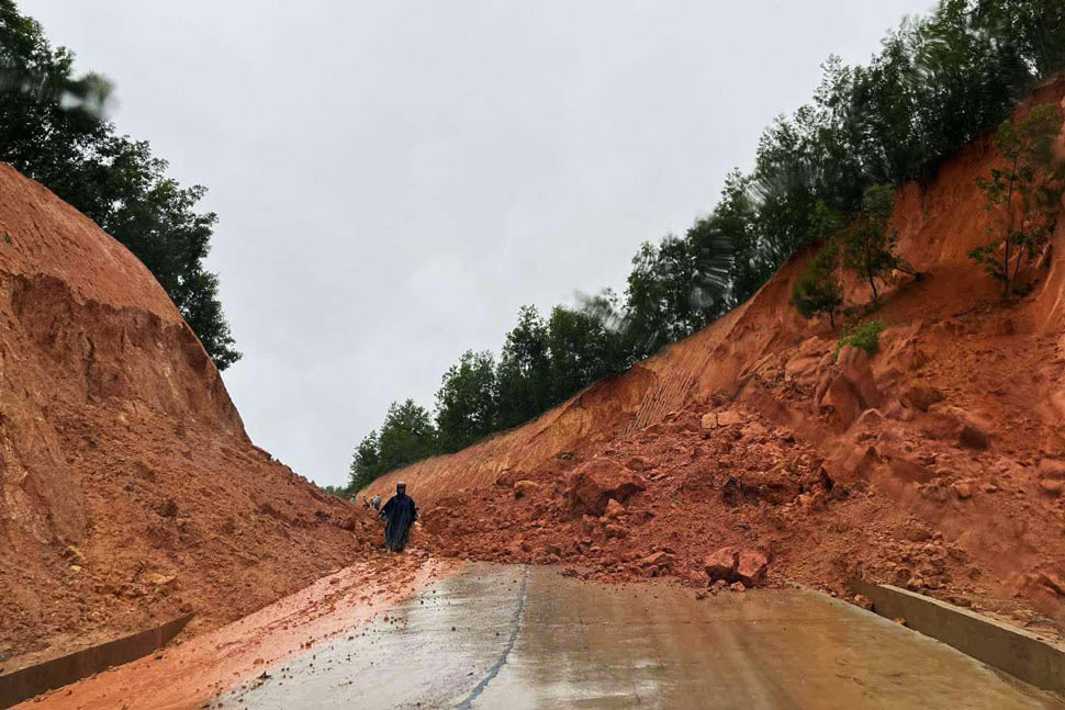
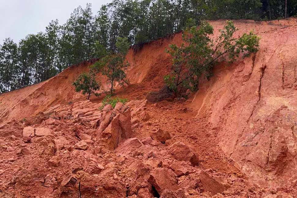
According to Mr. Trinh Xuan Long, the landslide location is on the traffic route connecting to La Vuong Plateau, which is part of the project to repair and upgrade the inter-commune road from An Hung (An Lao district) to Tam Quan (Hoai Nhon town), under the Climate Change Adaptation Infrastructure for Ethnic Minorities (CRIEM) project.

"Currently, the locality has sent forces to the landslide site to clear away rocks and soil, and at the same time warn and prevent vehicles from passing through to ensure the safety of people's lives and property. The landslide has cut off traffic through the route, causing no loss of life or property," said Mr. Long.
According to initial information, at around 5:00 p.m. the same day, a large amount of rock and soil on both sides of the positive slope of the traffic route connecting to La Vuong Plateau suddenly collapsed, burying a section of the road, paralyzing traffic through the area.

It is known that the traffic route connecting to La Vuong Plateau (under the CRIEM project invested by the Binh Dinh Provincial Agriculture and Rural Development Project Management Board) is under construction and has not been handed over to An Lao district for management.
As Lao Dong reported, on November 5 and 6, there was heavy to very heavy rain in An Lao district. The rainfall measured at Trong Thuong Lake Rain Gauge Station was 92.4mm, and at An Nghia commune was 184.4mm.
Initial statistics show that there are 12 flooded areas in the district. Heavy rains also caused landslides in some areas of An Nghia commune, affecting houses and forcing the evacuation of 4 members of one household to safety.
Some roads in An Nghia commune, An Quang commune to An Toan commune, and Ba Ghe intersection road to village 3 (An Toan commune) have landslides.


