
At about 5:15 pm on May 28, many areas in Ho Chi Minh City had thunderstorms. The sky turned dark with continuous thunder and lightning. Many people moving during rush hour had to stop their vehicles to shelter from the rain due to heavy rain.
Through monitoring satellite cloud images, weather radar images and lightning positioning, it shows that convective clouds are developing and causing rain with thunderstorms and lightning in many areas of Ho Chi Minh City such as Dien Hong ward, Binh Tan ward, Tan Tao ward, Binh Tri Dong ward, Binh Hung Hoa ward, Tay Thanh ward, Phu Tho Hoa ward, Tan Vinh Loc commune, Binh Loi commune, Tan Nhut commune...
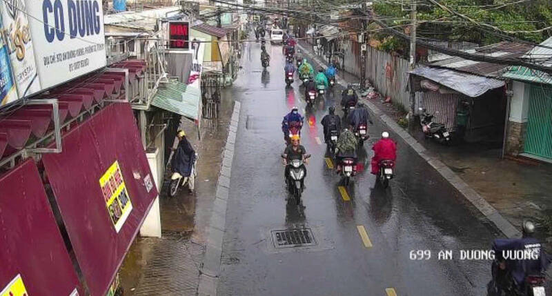
In the next 3 hours, convective clouds will continue to develop, causing showers with thunderstorms and lightning in the above-mentioned areas, then it is likely to expand to neighboring areas such as Cho Lon ward, Saigon ward and surrounding areas.
Common rainfall is from 10-30 mm, in some places over 50 mm. During thunderstorms, it is necessary to watch out for tornadoes, lightning, hail and strong gusts of wind at level 5-7 (8-17 m/s). Heavy rain can cause localized flooding in low-lying areas.
The weather pattern causing thunderstorms is due to a low pressure trough with a Northwest - Southeast axis passing through the South Central region. Southwest monsoon is operating with weak to moderate intensity over the South Central sea area.


