The use of drones in journalism is not just a story about technology. It is also a journey to discover the truth from another perspective, where footage from the air is not simply beautiful images, but vivid evidence, an irreplaceable material in reflecting reality.
The presence of drones in the press industry is a symbol of a transformation - from traditional to new, effective and controversial reporting methods. Since 2011, when The New York Times published the use of drones in newsletters, the media world has entered a new journey full of expectations and also full of skepticism.
Drone press, a new piece but not strange
2011 marked the time when The New York Times officially recognized the birth of the concept of drone journalism, bringing drone technology from military and aerial playground to the space of mass media. At that time, the atmosphere of optimism was everywhere. Drone appears as a trendy, attractive and promising symbol. Publishing houses have begun testing the tool to report from dangerous or hard-to-reach locations, such as large protests or environmental disasters. The combination of convenience and unique camera angles makes drones an indispensable part of the pocket of many photojournalists.
However, along with the excitement, there was a series of controversies. Unpleasant Voices of drones are often seen as a symbol of invasion. Many people have questioned: Is the drone a tool for honest reporting or an extension of private encroachment? Journalist Matt Waite, founder of Drone Journalism Lab at the University of Nebraska-Lincoln, warned that initial expectations for press drones seem to have stagnated. Partly because of the high investment cost, partly because of the complex legal regulations that make the use of drones not as simple as imagined.
In fact, drones are currently the most commonly used in the field of press photography. Overall images of protests, natural disasters or residential areas affected by war taken from above often leave a strong impression on the public. Many such photos have won international awards, but it is not always without controversy. There were cases, such as photographer Tomer Appelbaum of Haaretz newspaper, who used drones to record a dovish protest in Tel Aviv but was still detained by Israeli police.
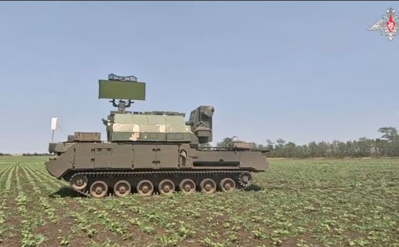
In addition to images, drones also open up potential for data journalism: from temperature measurement, 3D terrain simulation, pollution detection, to geographic maps. However, these capabilities require specialized equipment, technical knowledge and a large budget - something that most insurance companies will find difficult to meet. With the high cost of a professional device, plus the time to learn how to operate and apply for a license, drones have become an easy-to-reach tool for most journalists and reporters in the past.
However, thanks to the development of technology, modern journalists are increasingly easily accessing this high-tech product. And so, the appeal of drones seems to be lost over time, but is still intact thanks to technology. According to researcher Marisa Brandt, drone images have the ability to convey events strongly, almost clearly. Therefore, although not the perfect solution, drones are still an important piece in the picture of modern journalism - where the image at high altitudes is gradually telling stories that the ground cannot touch.
Transmitting the truth from above
According to the CPJ, since the Israel-Hamas war broke out in October 2023, at least 165 Palestinian journalists have been killed - making 2023 the deadliest year for the global press since 1992. In the context of not being able to safely access the ground, investigation organizations such as Bellingcat, Forbidden Stories or Le Monde used drones and satellite images to record the level of devastation as well as recreate the scene using 3D models.
The videos, which are just over a minute long, like AFP's seen over the city of Rafah, show dozens of flat, messy blocks of houses - images that the ground does not show clearly. Drones have helped the world witness the consequences of war in real time, even when a temporary ceasefire was applied.
Bellingcat also uses photogrammetry to reconstruct 3D models of refugee areas such as Jabalia and Al-Shati. Through four steps of image processing - identifying common points, calculating camera locations, creating depth maps and building 3D nets, the models not only reflect architectural damage but also help determine the specific location of affected civil works, such as schools or hospitals. Although this method is limited - such as not being able to recreate obscured areas - the effectiveness of communication and investigation is undeniable.
Drones have become a bridge for the outside world to visualize the extent of the devastation caused by war and conflict, especially in dangerous areas like Gaza. With high flexibility and the ability to fly into dangerous areas that ground reporters cannot access, drones are helping to uncover stories that if only rely on official reports or satellite images, sometimes just for imperfect images.
However, these images and footage - although not perfect - have helped the international community witness the level of destruction in Gaza in particular and in conflict-affected areas in general, in an undeniable way. In the context of not being able to access directly and often having conflicts with official sources, drones are acting as a quiet but trustworthy storyteller from the sky.